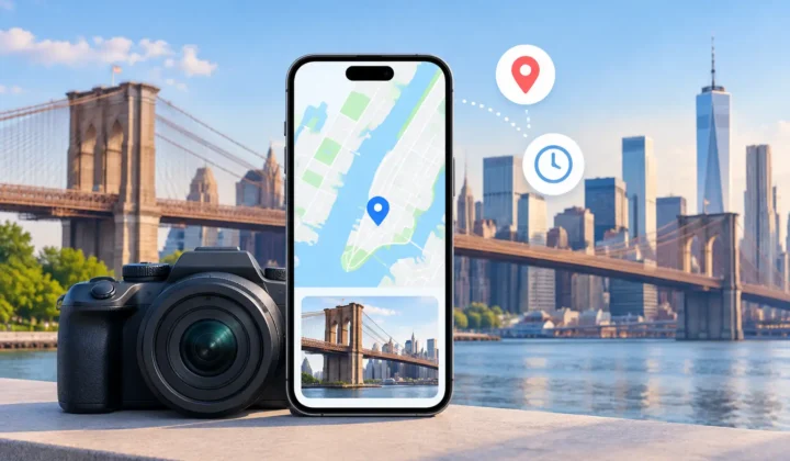

A missing location pin can look like a small gap in a photo library. In practice, it can remove the detail that makes a memory findable years later: which beach, which relative’s home, which stop on a long road trip. On-device processing offers a different way to repair that context. The evidence stays on your iPhone, iPad, or Mac, and the decision to change metadata stays with you.
That distinction matters because photo libraries are unusually personal datasets. They contain faces, routines, homes, travel patterns, children, and years of chronology. A tool that asks you to upload the library for analysis is not merely borrowing image files. It is asking you to move a detailed record of your life somewhere else.
What on-device processing means for your photos
On-device processing means the app reads, analyzes, and prepares results locally on the Apple device where your library lives. It does not send photos, timestamps, GPS coordinates, or inferred locations to a remote service for computation. There is no server-side queue deciding what your images mean, and no account required to connect the work to an online profile.
For photo metadata, local processing can examine information already associated with the library: capture times, existing coordinates, album order, and the sequence of nearby photos. It can then identify photos with missing locations and look for evidence in the surrounding timeline.
Consider a photo taken at 2:14 PM with no GPS data. If a geotagged photo was taken at 2:12 PM at a museum and another was taken at 2:16 PM at the same museum, the missing location has strong support. If the nearest anchors are six hours apart, on opposite sides of a city, the same conclusion is not justified. Good local analysis recognizes the difference.
The point is not to make every image appear complete. It is to separate a well-supported proposal from a convenient guess.
Privacy is only one reason to keep processing local
Privacy is the immediate benefit of on-device processing, but it is not the only one. Local work also gives you a more direct relationship with the evidence and with the changes made to your library.
A cloud-based workflow often turns analysis into a black box. You upload a batch, wait for results, and receive edits whose source may be unclear. Even when the service is well intentioned, you may not know whether a location came from neighboring photos, image recognition, a broad city-level match, or a weak statistical assumption.
A local workflow can show its work in terms that are relevant to the decision. It can place an untagged photo between its timestamp neighbors, show the anchors that support a proposed location, and indicate when timing or distance makes the result uncertain. That is especially useful when you are repairing family archives or travel photos where a wrong pin can become a durable piece of misinformation.
There is also a practical benefit: the analysis can happen where the library already is. A large collection of imported camera files or scanned prints does not need to be copied to a third-party server before you can begin reviewing it. That reduces transfer time, avoids dependence on an internet connection, and limits the number of systems that ever handle the data.
Local does not mean automatic
On-device processing should not be confused with silent automation. Running locally answers where the analysis happens. It does not answer whether the proposed edit is correct.
Location inference has real limits. A timeline can show that an untagged photo falls between two geotagged images, but it cannot always prove the camera remained in the same place. Someone may have taken a photo while leaving a restaurant, boarded a train, or switched cameras with an incorrect clock. The timestamp is evidence, not a guarantee.
For that reason, the useful workflow is Scan, Confirm, Apply.
During the scan, the app finds untagged photos and compares them with nearby geotagged anchors. During confirmation, you review grouped proposals, their supporting photos, and the level of certainty. Only then does the app apply a location to the selected images. If the proof is weak, there should be no confident pin to approve.
This approach is slower than a one-click promise, but only at the moment that deserves care. Grouping similar proposals means you do not have to inspect hundreds of individual photos without context. At the same time, you retain the ability to reject a group, adjust a proposed location, or leave the metadata blank.
The evidence behind a location proposal
The most useful local processing does more than find the closest timestamp. It considers the shape of the timeline.
A four-minute gap between two photos from the same location is materially different from a four-hour gap between photos taken across town. The first may support a single location proposal for the image in the middle. The second should likely be presented as uncertain, or not proposed at all.
Camera clocks add another complication. Photos imported from Canon, Nikon, Sony, or Fujifilm cameras often have no GPS coordinates, and their clocks may drift or be set in a different time zone. If the timestamp sequence consistently falls an hour ahead of the phone photos that document the same event, an app should identify that offset rather than treating every mismatch as a movement between locations.
Scanned prints require similar restraint. A scan date says when the print entered your library, not when the original photograph was taken. It may still be possible to add a location manually, but a scan date alone cannot justify an inferred pin. The same caution applies to images saved from WhatsApp or received through AirDrop. Their arrival time may have little to do with when or where the image was captured.
This is why certainty needs to be visible rather than implied. Color-coded states, timeline scale, anchor photos, and explicit wording help you decide whether a proposal belongs in your library. A pin that cannot be explained should not be presented as fact.
On-device processing and the integrity of Apple Photos
Your library is not a temporary input folder. It is often the long-term home for original images, edits, albums, and memories shared across Apple devices. Any metadata tool should treat writes to that library as consequential.
That begins with explicit confirmation. The app should show what will change before it changes it, rather than applying broad edits after a scan. It should preserve the distinction between a proposed location and a written location. And it should keep a record of its changes so that you can undo them if new information changes your understanding of the event.
Reversibility matters even when the evidence is strong. Perhaps you later discover that a camera clock was wrong, that two look-alike venues were involved, or that a relative remembers the day differently. An edit journal turns a correction into a manageable decision instead of a permanent gamble.
Photo Geotag is built around that standard: it analyzes location evidence on device, groups proposals for review, and does not silently guess. The design is intentional. The safest automated edit is one you can inspect before it is written and reverse afterward.
When local processing is the better fit
On-device processing is particularly well suited to personal libraries where the information needed for a decision already exists nearby. A phone may have geotagged the photos before and after an indoor image that failed to obtain a GPS lock. A travel sequence may contain GPS-enabled iPhone photos alongside GPS-free files from a dedicated camera. A family archive may have enough known pictures around a scanned set to help organize it, while still requiring manual judgment for the oldest images.
It is not a promise that every missing pin can be recovered. No responsible tool can infer a precise location from no meaningful evidence. Some images should remain untagged until you can identify the place yourself. Others may only justify a broad location, not a specific address or landmark.
That restraint is a feature. Metadata becomes more useful when it reflects what is known, not what software was willing to fill in.
If you are deciding how to repair missing photo locations, ask a simple question: can you see the evidence, approve the change, and undo it later? On-device processing makes those answers easier to keep close to the memories they affect.