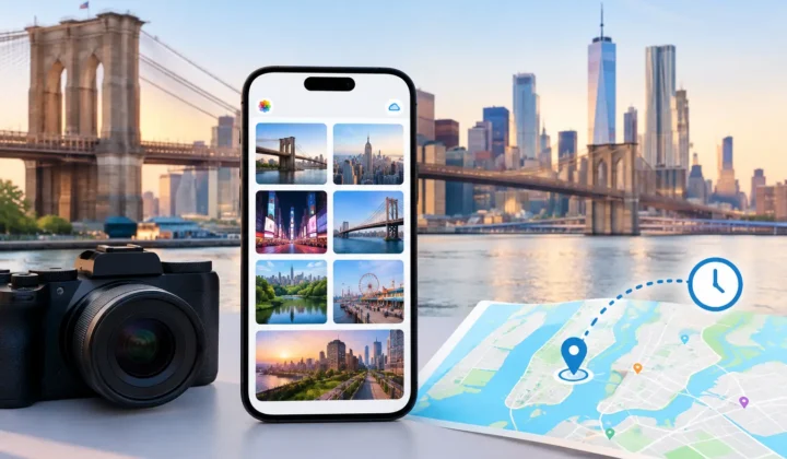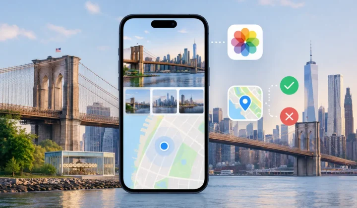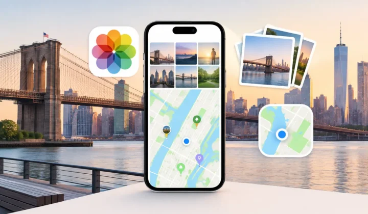
A missing location can turn a meaningful photo into an anonymous file. You may remember that a picture was taken somewhere along the California coast or at a family home, but that is not enough for Apple Photos to place it on a map or return it in a search. Learning how to add location to iPhone photos is straightforward for one image. The harder question is whether a location is actually supported by the evidence – especially when hundreds of photos are missing it.
The right method depends on why the metadata is absent, how many photos need attention, and how precise the result needs to be. A scanned print may only justify a city or address. A photo shot between two geotagged images on the same afternoon may support a much tighter placement. Treating those situations the same creates avoidable errors.
Why iPhone Photos Lose Location Data
Photos taken with an iPhone usually receive GPS coordinates automatically when Location Services are available and the Camera app has permission. But missing location data is common, even in carefully maintained libraries.
A photo can lose its coordinates after being saved from WhatsApp or another messaging app. AirDrop and export settings can also affect what metadata travels with a file. Indoor photos may have been taken before the phone acquired a reliable GPS signal. Scanned family prints have no original GPS record at all. Imported files from Canon, Nikon, Sony, and Fujifilm cameras often contain a capture time but no location metadata.
These are different problems. A scanned image from 1988 may require historical knowledge and a deliberate manual assignment. A camera image from a 2024 trip may have nearby iPhone photos that document where you were minutes before and after. The first is memory-based tagging. The second can be evidence-based placement.
How to Add Location to iPhone Photos Manually
For a single photo or a small, clearly defined set, Apple Photos provides a direct way to add a place. On iPhone, open the photo in the Photos app, swipe up on the image or tap the information button, then choose Adjust Location. Search for a place, select the appropriate result, and save it.
This works well when you know the location with confidence. You might add your childhood address to a scanned birthday photo, identify a museum after reviewing a trip itinerary, or correct an image that has been assigned to the wrong city.
Be deliberate about the precision you choose. Searching for a business, street address, park, or landmark can attach a specific point. That may be appropriate for a public attraction. It may be more detail than you want attached to photos taken at a private home. A broader place is often the better choice when your certainty is broad or privacy matters.
You can also select multiple photos in the iPhone Photos app and use the share menu to adjust their location together. This is useful for a short, known sequence: for example, 20 digitized photos from the same reunion or a set of images captured during one visit to a gallery. It is not a substitute for reviewing a long timeline. A batch action applies one location to every selected item, whether or not each frame belongs there.
Check the Result Before Moving On
After assigning a location, reopen the image information panel and inspect the map. Confirm that the pin represents what you intended, not merely a search result with a similar name. Location names can be ambiguous, and Apple’s search suggestions may favor a business or neighborhood you did not mean to select.
Also consider the capture date. If the date is wrong, a photo may appear in an implausible place in your library’s timeline even when the assigned location itself is correct. Date and time corrections are a separate task, but they matter when you use surrounding photos as context.
Use Nearby Photos as Evidence, Not Proof by Default
When a large group of photos lacks GPS data, manual tagging one image at a time becomes slow and inconsistent. The useful clue is often already in your library: geotagged photos captured nearby in time.
Imagine two iPhone photos with confirmed locations. One was taken at 2:01 p.m. at a trailhead, and another at 2:05 p.m. farther along the same trail. An untagged camera photo at 2:03 p.m. probably belongs in that same area. The timeline gap is short, the locations agree, and the movement is plausible.
Now change the second anchor photo to 8:01 p.m., six hours later, at a restaurant across town. An untagged photo between those timestamps cannot reasonably inherit either location just because it falls between them in the library. You could have traveled, stopped elsewhere, or changed time zones. A pin would be a guess.
This distinction matters because location metadata is not just a visual convenience. It affects map views, search results, memories, exports, and how someone else may interpret an image years from now. A wrong pin can be worse than no pin.
Add Locations to Many iPhone Photos With Reviewable Proposals
For larger collections, a tool built around timeline evidence can reduce repetitive work without automating judgment away. Photo Geotag scans an existing Apple photo library for untagged images positioned between geotagged photos. It evaluates neighboring capture times and known locations, then groups related proposals for review.
The workflow is intentionally simple: scan, confirm, apply. During the scan, the app looks for useful anchors around photos that need a location. It does not treat every gap as equally trustworthy. A short interval bounded by nearby, consistent locations can support a proposed placement. A long gap, conflicting anchors, or inadequate data should remain unresolved.
The review step is where the distinction becomes visible. You can inspect the timeline, neighboring anchor photos, and the proposed location before changing anything. Certainty is communicated explicitly rather than hidden behind a generic automated result. When the evidence cannot justify a confident pin, the app does not draw one. You can edit a proposed location manually when you have better information than the timeline does.
This grouped approach is particularly useful after importing a camera folder from a trip. Your iPhone photos may provide location anchors throughout the day, while the dedicated camera files preserve only capture time. It can also help with images saved from messaging apps or photos taken indoors, where location acquisition failed but the surrounding timeline still provides context.
Watch for Camera Clock Offsets
A camera’s clock can quietly undermine otherwise good location matching. If a dedicated camera is set 30 minutes ahead, its photos may appear between the wrong iPhone anchors. A larger offset can make an afternoon series look like it belongs to a different stop entirely.
Before applying locations to imported camera files, compare a few recognizable shots against photos from your iPhone. Look for the same scene, event, or moment. If the timestamps are consistently offset, correct for that offset before relying on timeline proximity. A system that detects likely camera-clock differences gives you a chance to fix the relationship rather than force locations onto the wrong images.
Preserve Privacy While You Restore Context
Adding location metadata is a personal decision. Coordinates can reveal where you live, where your children attend activities, or where you travel regularly. The best workflow keeps you in control of both the data and the level of detail.
For personal libraries, on-device processing avoids sending photo libraries, timestamps, and location history to a remote service for analysis. It also avoids the account creation and cloud-upload requirements that often accompany bulk metadata tools. Your photos remain in your Apple library while you review what will be written.
Reversibility matters too. A careful workflow should make changes visible and allow you to undo a mistaken assignment. Before making a broad batch update, start with one reviewed group. Check the resulting pins in Photos, then continue if the outcome matches the evidence and your privacy expectations.
When Leaving a Photo Untagged Is the Accurate Choice
Not every photo has enough context to locate responsibly. A single scanned print with no recognizable landmarks, an image from a long unrecorded drive, or a camera photo separated from known anchors by hours may not support a precise answer.
You can still organize those photos with albums, captions, dates, and people. If you know only that an image was taken in Chicago, assigning Chicago may be more honest than choosing a building from a vague recollection. If you know nothing reliable, leave the location blank until new evidence appears.
A photo library becomes more useful when its metadata earns your trust. Add a pin when the image, your knowledge, or the surrounding timeline can justify it. When it cannot, preserving the uncertainty is a form of care for the memory itself.