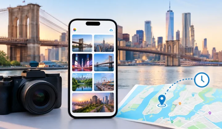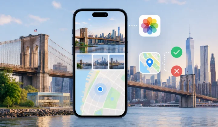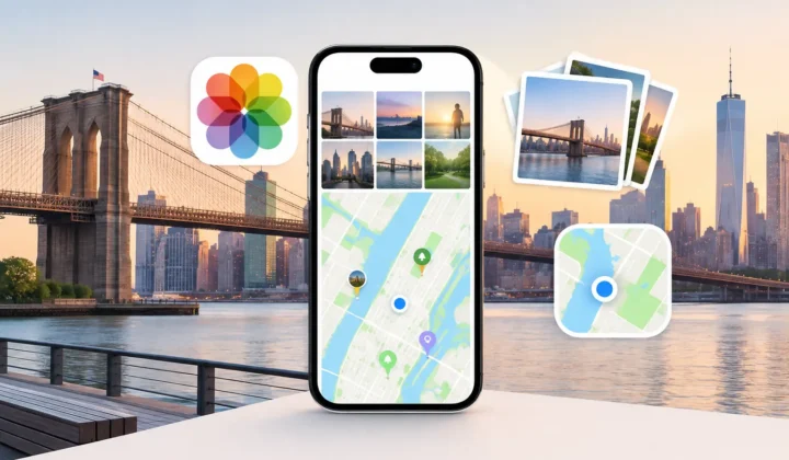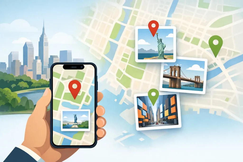
A photo of a birthday cake can tell you who was there and roughly when it happened. It cannot always tell Apple Photos where it happened. When you geotag photos after the fact, the goal is not to make every image appear complete. It is to restore place information where the evidence supports it, and leave the rest honestly unknown.
That distinction matters more than it first appears. A wrong location can quietly reshape a family timeline, put vacation photos in the wrong city, or make a future search return memories that do not belong together. Adding metadata is easy. Adding metadata you can trust requires a more careful process.
Why photos lose their location metadata
Location is usually written when a phone or camera captures an image, but many ordinary workflows remove or never create it. A scanned print has no GPS history. A photo saved from WhatsApp may arrive without the original location. An indoor iPhone photo may have been taken before the device acquired a reliable GPS lock. Files imported from Canon, Nikon, Sony, or Fujifilm cameras often have accurate capture times but no location coordinates at all.
AirDrop can be another source of confusion. Depending on how a photo was shared and saved, the receiving library may not retain all the location information expected from the original. The result is familiar: a photo looks perfectly at home in its date-based library, yet it disappears from map view and cannot be found by place.
The missing data is not always recoverable. That is a feature of reality, not a limitation to hide. But a photo library often contains useful context around the gap: nearby images with known locations, timestamps that establish sequence, and groups of pictures clearly taken during the same stop on a trip.
Geotag photos from timeline evidence, not convenience
The strongest clue for an untagged photo is often the photos immediately before and after it. Imagine a location-tagged image taken at a museum entrance at 10:02 a.m., followed by several untagged indoor images, then a location-tagged lunch photo nearby at 10:37 a.m. The gap is short, the surrounding locations agree, and the proposed placement has a reasonable basis.
Now change the final anchor photo to one taken six hours later at an airport across town. Assigning the museum location to every untagged photo in that interval would be convenient, but it would not be justified. The person may have visited several places in between. A system that treats both examples alike is not reasoning from evidence. It is filling blanks.
A careful workflow considers three related questions: how close the untagged images are in time to known-location photos, whether the known locations are consistent, and whether the proposed group makes sense as a continuous part of the timeline. Short gaps between nearby anchors can support a stronger proposal. Long gaps, conflicting anchors, or a break in the sequence should reduce certainty or produce no proposal at all.
This is also why grouped review is better than asking you to place one image at a time. A set of ten indoor photos captured over four minutes is usually one decision. Seeing those photos together, alongside the surrounding location-tagged anchors, lets you inspect the same context used to form the proposal.
A reviewable workflow: scan, confirm, apply
For a large library, manual pin-dropping is slow enough that it often never gets done. Automation can help, provided it remains visible and reversible. A practical process has three stages.
Scan for gaps with meaningful context
Start by identifying untagged photos that sit between geotagged images. The timeline should show enough scale to distinguish a four-minute gap from a six-hour gap. It should also reveal the anchor photos on each side, their timestamps, and their locations.
That context prevents a common mistake: assuming chronological adjacency means physical proximity. A photo taken at 11:58 p.m. and another at 12:03 a.m. may be part of one event. The same five-minute gap can be less meaningful if a camera’s clock is wrong, if the images came from different devices, or if travel is involved.
Confirm what the evidence can support
A proposal should communicate its certainty plainly. Color-coded states or similarly clear labels make review faster, but the label must correspond to real evidence rather than a vague confidence score. A high-certainty proposal should show why it is high certainty: nearby time anchors and compatible locations. A weaker proposal should be treated as an invitation to inspect, edit, or decline.
The useful standard is simple: never draw a confident pin it cannot justify. If both neighboring anchors point to the same place and the interval is narrow, accepting a group may be reasonable. If they differ, or the time span leaves room for several locations, the appropriate outcome may be no automatic location at all.
You should also be able to edit a proposed location manually. Sometimes the evidence narrows an image to a neighborhood while you remember the exact venue. Other times an old print belongs to a known address, but its date is approximate. Manual correction is not a failure of the process. It is how personal knowledge and timeline evidence work together.
Apply only after explicit approval
Location metadata is part of the record of a photograph. It should not be changed silently. Before applying any proposal, review the images in the group, the suggested place, and the evidence around it. Then confirm the change yourself.
A reliable tool records what it wrote so that changes can be undone. This matters when you later find a better reference photo, discover that an imported camera had the wrong date, or simply decide a proposal was too broad. Reversibility makes careful experimentation possible without turning the library into a permanent guess.
Photo Geotag follows this approach on iPhone, iPad, and Mac: it scans locally, groups supported proposals, and leaves the final decision with you.
Watch for camera-clock offsets
Dedicated camera imports create a special problem. A camera can record every image at the correct sequence but the wrong absolute time because its clock was never adjusted after a time-zone change, daylight saving time, or battery replacement. If you compare those timestamps directly with geotagged iPhone photos, the anchors may appear hours away from the images they actually belong beside.
Suppose your iPhone shows a trailhead photo at 9:15 a.m., while your camera’s matching landscape sequence begins at 8:15 a.m. The scene and order may make it clear that the camera is one hour behind. Correcting that offset changes the interpretation of the entire import. It may turn apparently weak evidence into a tightly aligned sequence.
Do not assume every mismatch is a clock problem, though. A gap could reflect a real delay, an incorrectly sorted import, or photos from another day. The best workflows surface the suspected offset and let you verify it against recognizable moments before using it to support location proposals.
Privacy is part of accurate photo organization
Geotagging requires access to a deeply personal record: where you have been, who you were with, and what your home and routines look like. That is not data to send away casually just to add coordinates to image files.
For this kind of task, on-device processing has a practical advantage as well as a privacy advantage. Your library can be analyzed where it already lives, without an account, cloud upload, or network service interpreting your timeline. You retain control over the photos and over every location change.
Privacy also means being deliberate after a location is restored. A geotag can be useful in your personal library while being inappropriate to share publicly. Before sending photos, consider whether the recipient needs the exact place. This is especially relevant for homes, schools, children’s routines, and sensitive travel locations.
When leaving a photo untagged is the right result
There is a temptation to treat an untagged image as incomplete. Sometimes it is simply uncertain. A scanned family photo may be identifiable only as “somewhere in northern Michigan.” A concert image may fall between a hotel photo and a restaurant photo with no way to prove which venue it depicts. A location pin would create false precision.
You can still preserve useful context without inventing coordinates. Add a caption, identify people, record an approximate date, or create an album for the trip or event. Those details improve retrieval while respecting what is known and what is not.
The best result is not a map filled with pins. It is a library whose places remain believable when you return to them years from now. Restore the locations your timeline can support, correct the ones you know, and let uncertainty remain visible when the evidence runs out.