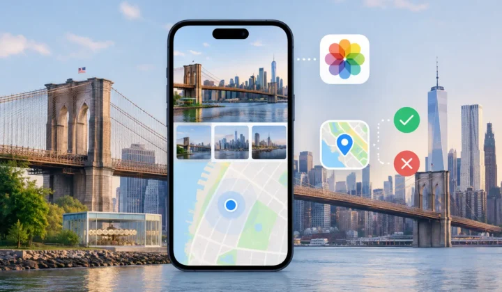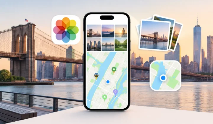
A photo can arrive through AirDrop in seconds and still lose the detail that makes it findable years later: where it was taken. When photos imported from AirDrop have no location in Apple Photos, the obvious assumption is that AirDrop stripped it. Sometimes that is true in practice. Just as often, the location was absent before the transfer, removed by an earlier export, or omitted from the particular version that was shared.
The distinction matters. A missing pin is not proof that a photo belongs at the sender’s current location, the receiving device’s location, or even the place where the rest of that day’s images were taken. Location metadata deserves the same care as the image itself: inspect the evidence, make a reviewable decision, and leave uncertain photos unpinned.
Why Photos Imported From AirDrop Have No Location
AirDrop is designed to transfer files directly between Apple devices. It does not inherently need to remove GPS metadata from an original photo. But the item selected for sharing is not always the original file with its full metadata intact.
For example, a sender may have received the image through a messaging app, saved it from a social platform, exported it from an editing application, or created a screenshot. Each step can produce a new file without the original GPS coordinates. A photo taken indoors may never have received a reliable GPS lock in the first place. Images from Canon, Nikon, Sony, and Fujifilm cameras often have accurate capture times but no built-in location data unless GPS logging was enabled separately.
Apple Photos can also hold multiple representations of an image. The version shared may be a rendered export rather than the original, particularly when a workflow includes editing, conversion, or sharing outside the library. If the rendered file has no location, AirDrop faithfully carries that omission forward.
There is also a privacy choice on the sending side. Apple sharing sheets can offer an option to exclude location details. That is useful when sending a photo to someone who should not know where it was taken. It also means a recipient cannot recover coordinates from the transferred file alone.
So the useful question is not simply, “Did AirDrop remove the location?” It is, “What evidence remains for placing this image accurately?”
First, Confirm What Is Actually Missing
Open the image in Photos on iPhone, iPad, or Mac and view its information panel. Look for a map, a place name, and the date and time. If there is no location shown, compare it with nearby photos from the same event, device, or import batch.
This quick check separates several different problems. The image may have no coordinates but retain an accurate timestamp. It may have both a missing location and a suspicious capture time, common with a dedicated camera whose clock was never corrected after travel or daylight saving changes. Or it may be a duplicate, edited export, or screenshot with little usable capture metadata at all.
Do not use the file’s import date as a substitute for its capture location. A photo imported at home may have been taken on a trip months earlier. Likewise, the recipient’s location when accepting AirDrop says nothing reliable about where the photo was made.
If the sender still has the original in their library, ask whether its information panel shows a location. That is the cleanest source. They can share the original again with location included, or provide the place directly. When the original is unavailable, the rest of the photo timeline may still offer enough evidence to make a justified placement.
Use the Timeline as Evidence, Not a Shortcut
A photo with no location is often surrounded by photos that do have one. That pattern can be meaningful, but only at the right time scale.
Imagine two geotagged photos taken at a museum in Chicago at 2:04 PM and 2:12 PM. An untagged AirDropped image captured at 2:08 PM sits between them. If all three images share a plausible sequence and no sign suggests a different device clock, Chicago is a well-supported proposal. It is still a proposal, not a fact extracted from the file.
Now change the gap. The nearest geotagged photos are at 10:00 AM in Chicago and 4:00 PM at an airport in Denver, while the untagged image falls at 1:00 PM. Assigning either location automatically would be unsupported. Travel, a meal stop, a camera with the wrong clock, or an unrelated import could explain the gap.
The same caution applies to batches. Twenty images may arrive by AirDrop together, yet represent different days, places, or people. Their shared import time is administrative metadata, not a location signal. Capture time, neighboring anchors, visible landmarks, and your own recollection carry more weight.
A good workflow groups only photos that are supported by the same evidence. It also makes the anchors visible: the nearby geotagged images, the time interval, and the proposed place. That gives you something concrete to confirm or reject rather than asking you to trust an unexplained pin.
Watch for Camera Clock Offsets
Dedicated cameras add a complication that is easy to miss. Their clocks are often set manually, which means the capture sequence can be shifted by minutes, hours, or even a full time zone. If a camera was left on home time during a trip, comparing its timestamps directly with iPhone photos can place an entire album in the wrong part of the timeline.
Look for a consistent offset. Perhaps every camera image appears three hours before nearby iPhone images that clearly show the same scene. That pattern supports a clock correction. A single strange timestamp does not.
Correcting the clock relationship before inferring location can turn weak evidence into strong evidence. But it must remain reversible and visible. A time adjustment that is wrong by one hour can matter at the border between two cities, during travel, or across a long day.
Restore Location Only When the Case Holds Up
Apple Photos lets you add or adjust a location manually, which is appropriate for a small number of images when you know the place. For a large library, manual edits become slow and inconsistent. The risk is not just effort. Repeating a location across hundreds of photos without reviewing the timeline can quietly create a false archive.
Photo Geotag is built for the cases where timestamps and nearby geotagged photos provide evidence, but the original file does not. It scans your existing library locally, identifies untagged images between location-bearing anchors, and presents grouped proposals for review. The workflow is deliberately restrained: scan the timeline, confirm the evidence, then apply only the changes you approve.
Certainty should be explicit. A close, stable sequence may justify a high-confidence proposal. A wider interval, conflicting anchors, or an unresolved clock offset should lower confidence or produce no proposed pin at all. Never a confident pin it cannot justify.
Before applying a group, inspect the anchor images and the timeline scale. Ask whether the proposed place fits the visible content, your memory of the day, and the time between the surrounding photos. If it does not, edit the proposed location manually or leave the group unchanged. An untagged photo is more honest than a precisely labeled wrong one.
For privacy-sensitive libraries, the processing model matters too. Location inference can be done on-device, without uploading personal images to a cloud service or creating an account. The resulting metadata changes should be reviewable and undoable, because even a careful decision may need correction later when new information appears.
When Leaving It Blank Is the Right Result
Some photos cannot be placed responsibly. A scanned print may show an unfamiliar room. A single portrait received over AirDrop may have no reliable timestamp. A sunset could be anywhere. In those cases, a broad album title, a caption, or a person tag may preserve useful context without inventing geographic precision.
Missing location metadata is frustrating because it interrupts the story of a library. But restoring that story does not require guessing. Start with the original when available, use the timeline when its evidence is close and consistent, correct known clock offsets before drawing conclusions, and keep uncertainty visible. A library becomes more useful when its pins are trustworthy, not merely plentiful.