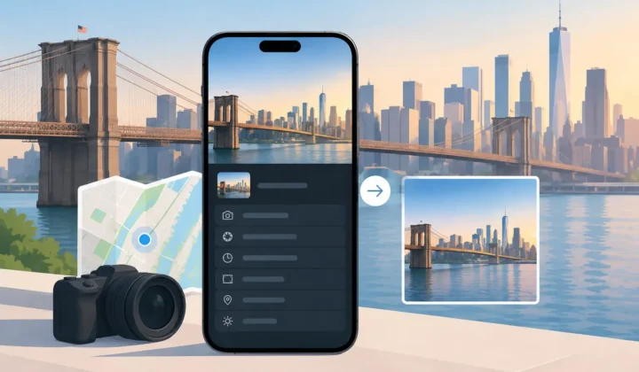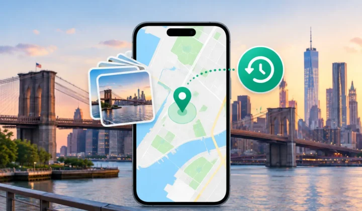
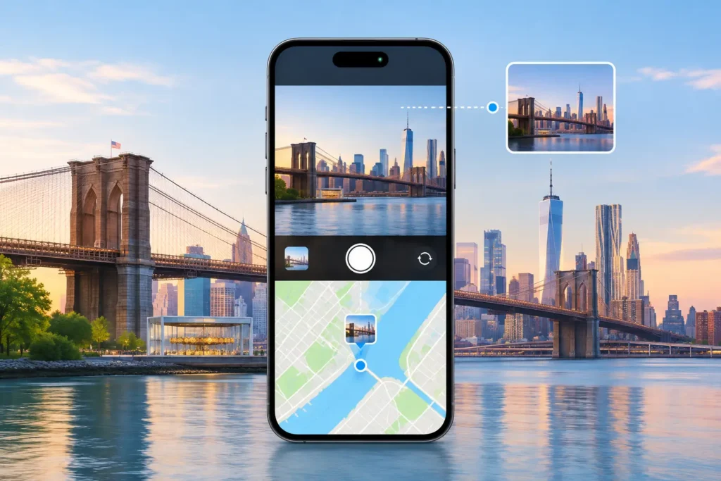
A camera can record the right image at the wrong time. If its clock is a few minutes, hours, or days away from your phone’s clock, matching GPS-free camera files to the rest of your library becomes unreliable. Camera offset recovery addresses that mismatch before it proposes a location. The aim is not to make a map pin appear for every image. It is to establish whether the timestamps and nearby geotagged photos support a placement you can trust.
This matters most after a trip, a family event, or a long archive import. Your iPhone photos may show where the day happened, while images from a Canon, Nikon, Sony, or Fujifilm camera show the same moments without GPS. When both cameras agree on time, the relationship can be clear. When one clock is off, a photo taken at a beach breakfast may appear beside an afternoon museum visit. A fast automatic guess can turn a useful library into a misleading one.
What camera offset recovery actually corrects
A camera offset is the difference between the time recorded by a camera and the time recorded by a reliable reference, often an iPhone that has location data. It may be a consistent four-minute difference caused by a clock that was never set precisely. It may be six hours because the camera remained on home time during travel. It can also be one day off after a battery change or an incorrect date setting.
Recovery means identifying that consistent difference and using it to place the camera photos at their likely real positions in the timeline. Once the timeline is corrected, the system can compare each GPS-free photo with the geotagged photos around it. If the evidence is strong, it can propose a location. If the evidence is weak, the correct result is no confident pin.
This is different from changing the capture time merely because it looks convenient. A valid offset needs corroboration. The photos should form a pattern that makes sense across a sequence, not just align with one favorable image. A single similar-looking frame at a landmark is not enough to justify a library-wide correction.
Why a small clock error can cause large location mistakes
Time and place are tightly connected in a photo timeline. During a quiet afternoon at home, a ten-minute error may make little practical difference. On a travel day, ten minutes can span a train station, a taxi ride, and a hotel check-in. An offset that seems minor in metadata can put a photo on the wrong side of a city.
The risk grows when the library contains repeated places. A camera photo taken at breakfast on Monday may be incorrectly matched to breakfast at the same hotel on Tuesday. This is why proximity in time is evidence, not proof by itself. The gap between surrounding anchors, the consistency of the offset, and the movement represented in the timeline all matter.
A well-designed recovery process treats a four-minute gap differently from a six-hour gap. Four minutes between two geotagged photos taken at the same park may support a narrow proposal. Six hours between locations offers much less support, especially if the period includes travel or multiple stops.
Camera offset recovery needs anchors, not assumptions
Geotagged photos near the same event act as anchors. They supply known times and places against which an untagged camera sequence can be evaluated. The strongest cases usually include several anchors: iPhone images taken before, during, or after the dedicated-camera photos, with a stable offset visible throughout.
Consider a wedding photographer who uses a camera set 17 minutes behind. Their iPhone captures the venue arrival at 1:42 PM and a reception scene at 6:17 PM, both with GPS. The camera images of the ceremony and reception consistently fit between those anchors when shifted forward by 17 minutes. That is meaningful evidence. It is stronger than assigning every image to the venue simply because the day began there.
The evidence may also show that there is no single offset. A trip can include a camera-clock adjustment halfway through, a daylight saving change, or files imported with altered timestamps. In those cases, one correction across the entire library would be inappropriate. Separate groups may need separate review, or the photos may need manual placement.
A careful workflow: scan, confirm, apply
Photo Geotag begins by scanning the existing library locally and locating untagged images in relation to geotagged ones. For camera imports, it evaluates whether the apparent gaps are better explained by a consistent clock offset. The purpose of the scan is to find candidates, not to write metadata.
Scan the timeline for a consistent shift
The first question is whether the camera images repeatedly sit just before or after related location anchors. A stable pattern across an event is more persuasive than an isolated match. Timeline scale matters here. At a day-level view, an image can appear close to an anchor but still be hours away. A closer view can reveal whether the interval is actually four minutes, 40 minutes, or most of an afternoon.
A useful recovery system should surface the basis for its conclusion: the proposed offset, the photos that support it, and the periods where it does not hold. It should not silently alter capture dates or turn uncertainty into a precise-looking map pin.
Confirm grouped proposals in context
Once an offset is identified, review should happen in groups rather than one photo at a time. A group might represent an afternoon at a botanical garden, a flight arrival, or a family dinner. Seeing the surrounding anchor photos and the time span helps you decide whether the proposed location reflects the actual event.
Certainty should remain visible. A proposal tightly bracketed by geotagged images at one location deserves a different label from one inferred across a longer gap. If you recognize the setting but the suggested pin is slightly wrong, manual editing should be available before applying anything.
Apply only what you approve
Applying a confirmed proposal should be an explicit action. The original image files remain your photos; the location metadata added to the library should be reviewable and reversible. Journaled writes provide a record of what changed, which matters when working through years of imports or a large family archive.
The practical benefit is speed without surrendering judgment. You can restore context to hundreds of related images while still declining a group that does not look right.
When recovery should stop and ask for help
Camera offset recovery has limits, and those limits protect accuracy. It cannot establish a location when there are no meaningful anchors. If a camera was used alone for a week, and no photos, calendar records, or known events connect it to a place, the timestamps may describe sequence but not geography.
It should also be cautious around long gaps. A photo taken between a geotagged image in Chicago and another in Denver does not belong confidently to either city without more evidence. The same applies to airport transfers, road trips, and days with several venues. A corrected timestamp improves the timeline, but it does not erase ambiguity.
Duplicates and edited exports can complicate the picture as well. A WhatsApp save may have a new file date, while a scanned print may only have the date it was digitized. Those files need different treatment from original camera captures. The right workflow distinguishes capture-time evidence from import-time noise.
Preserve context without inventing it
The most useful location metadata is metadata you can stand behind later. A photo library is often a family record, a travel journal, or an archive that outlives the devices used to create it. Incorrect coordinates may be harder to notice than missing coordinates, yet they can distort searches, albums, and shared memories for years.
That is why local processing, explicit confirmation, and reversible changes belong in the process. Your photos do not need to be uploaded to an account or sent to a remote service for a timeline comparison. The evidence can remain on your Apple device, where the library already lives.
A camera clock does not have to be perfect for a photo library to remain useful. It only has to be treated honestly: correct the offset when the timeline supports it, review the proposed places, and leave the uncertain moments open until better evidence appears.