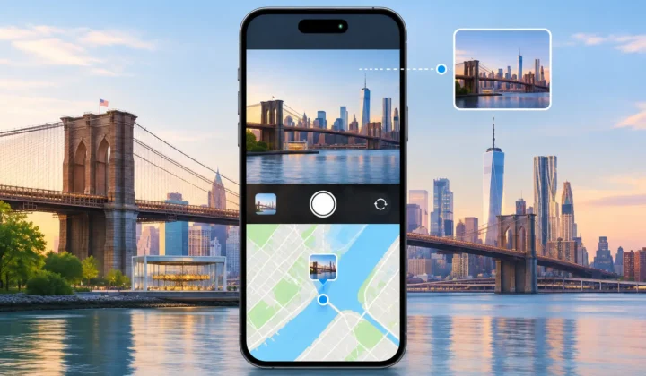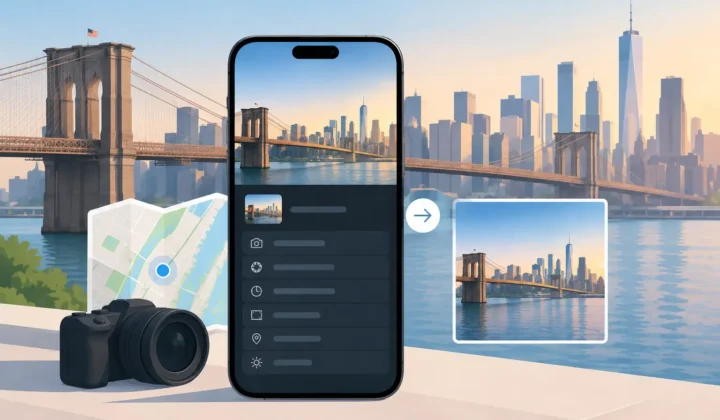

A photo from a family group chat can look perfectly at home in Apple Photos until you try to find it later. The date may be intact, but the map is blank. To restore WhatsApp image locations responsibly, start with a limitation: a missing pin is not hidden evidence of where the photo was taken. It is missing context that must be recovered carefully, or left blank.
WhatsApp images can lose location metadata during sharing or saving, depending on how the image was sent, the sender’s settings, and the version of the file involved. That makes a saved copy different from the original photo in the sender’s library. The goal is not to manufacture certainty. It is to identify cases where your own photo timeline provides enough evidence to justify a location proposal.
Why WhatsApp photos lose their map pins
Location is stored in photo metadata, commonly called GPS or EXIF data. A photo taken on an iPhone may have precise coordinates when the Camera app had location access and a GPS or network fix. But messaging services often create a derivative copy for delivery. That copy may retain the image pixels and capture date while excluding location details.
This behavior can be useful for privacy. A location pin may reveal a home address, a child’s school, a hotel room, or a routine. But it also creates a real archival problem. Years later, a trip album contains a sequence of blank-map images between properly geotagged photos, and searching Photos for a city no longer finds them.
Not every blank pin has the same cause. A WhatsApp save may be missing its location because the shared file was stripped. An indoor image may never have received a GPS lock. A scanned print has no GPS history at all. An image imported from a Canon, Nikon, Sony, or Fujifilm camera may have a correct capture time but no location receiver. The right recovery method depends on the evidence available, not on the source alone.
Check what the saved image still knows
Before changing anything, open the image in Apple Photos and view its information. Confirm the date and time, then check whether a location is absent or merely inaccurate. A wrong pin calls for correction. No pin calls for a more careful review.
The timestamp matters because it is the primary bridge between an untagged WhatsApp image and nearby photos that do have locations. If the image was saved hours or days after it was captured, its displayed date may reflect the save or export event rather than the original moment. In that case, an automated placement based on the current timestamp would be weak evidence.
Look for context outside the image too. The conversation date can narrow the timeframe. A matching original in the sender’s library may provide the best answer. Trip notes, calendar entries, or a recognizable landmark can support a manual edit. These are useful sources, but they should not be treated as interchangeable. A remembered destination is not the same as coordinates supported by a time-based photo sequence.
Restore WhatsApp image locations from timeline evidence
The safest scalable approach is to inspect untagged photos against the surrounding timeline. If a location-tagged photo appears at 2:11 PM and another appears at 2:15 PM, with the WhatsApp image captured at 2:13 PM between them, the two anchors may support a tightly bounded proposal. If both anchors point to the same park, restaurant, or neighborhood, confidence is stronger.
A six-hour gap is different. The same person could have crossed a city, driven to another state, or taken a flight. Even if the surrounding photos happen to share a broad region, a precise pin may not be justified. This distinction is where automated geotagging often goes wrong: it treats every empty field as a request for a best guess.
Photo Geotag uses this timeline logic locally on iPhone, iPad, and Mac. It scans for untagged images positioned between location-tagged photos, groups related proposals, and shows the anchors that support each one. The app should communicate whether the evidence is strong, uncertain, or insufficient. A missing location is preferable to a confident-looking pin with no defensible basis.
Scan for clusters, not isolated photos
WhatsApp images are often part of a sequence: several shared shots from the same dinner, event, or weekend. Reviewing them as a cluster is more useful than assigning places one image at a time. A grouped view can reveal that five photos fall in a short gap between anchors, while another image with a similar date actually belongs to a later conversation.
Grouping also reduces repetitive work. You can review the evidence once, decide whether a shared location applies to the cluster, and exclude exceptions. An image of a menu, for example, may be safely associated with the restaurant. A photo forwarded from another city during the same conversation should not be swept into that group merely because it was saved at the same time.
Confirm the proposal before applying it
Review should be a real decision point, not a decorative screen before an automatic edit. Check the proposed place on the map, the timestamps of its anchor photos, and the size of the interval. If the location is plausible but too broad, edit it manually or leave it unresolved.
Good tools make uncertainty visible. A color-coded certainty state can help distinguish a compact, well-supported interval from a long or contradictory one. The interface should also avoid drawing a pin when the evidence cannot support one. This is especially important for travel days, parties, and multi-stop outings, where a single afternoon can include several valid locations.
If you know the location independently, a manual placement is appropriate. Mark it as a choice you are making, rather than allowing software to imply it was recovered from embedded metadata. That distinction protects the integrity of the library for future searches, exports, and family archiving.
Watch for camera-clock and date problems
A timeline workflow is only as reliable as its timestamps. Dedicated cameras can be set to the wrong time zone, drift by a few minutes, or remain on daylight saving time after a trip. Exported and received images can also acquire dates that reflect transfer activity. A one-hour offset may place otherwise valid photos between the wrong anchors.
Look for a pattern before correcting a clock. If every imported camera image is exactly four hours away from the phone photos around it, that is meaningful evidence of a time-zone mismatch. If only one WhatsApp image seems out of place, it may have been forwarded or saved later. Apply a clock correction only when a consistent offset explains multiple images.
Keep the repair private and reversible
A location edit changes how a photo can be found, grouped, and shared. It deserves the same care as editing a date or caption. Prefer a workflow that processes your existing library on device, without requiring an account or uploading personal images for analysis. For many libraries, the timeline itself contains the necessary evidence; sending it elsewhere is not required.
Reversibility matters just as much. Before applying changes, make sure you can see what will be written and can undo it if later evidence proves the placement wrong. Keep original files and library backups as part of normal photo maintenance, particularly before large batches of metadata work.
A blank map pin can feel like a flaw in a photo library. Sometimes it is a recoverable gap, supported by neighboring moments you already own. Sometimes it is an honest unknown. Treating those two cases differently is what preserves both the usefulness of your library and the truth of the memory behind it.