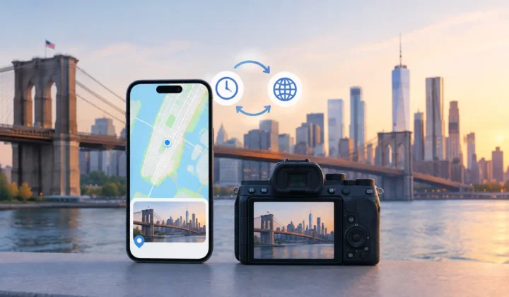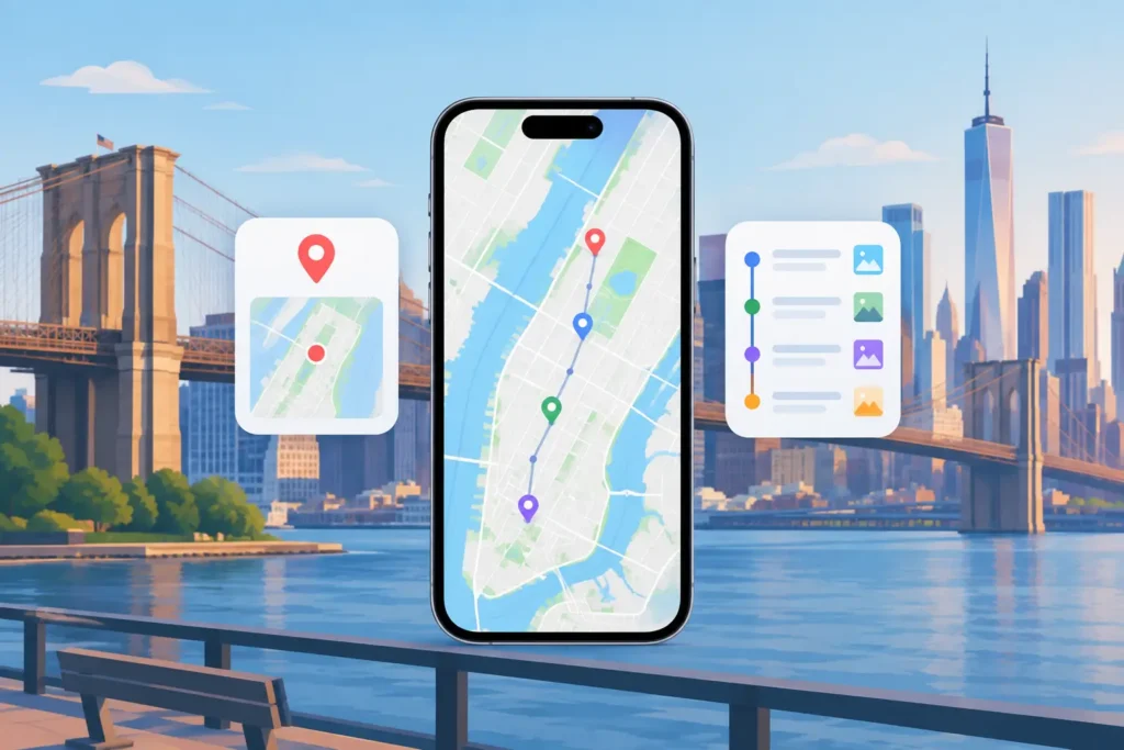
A scanned birthday photo may clearly belong to your childhood home, while a set of camera images taken between two geotagged travel photos may have a much stronger, timestamp-based case for a specific place. Manual geotagging versus timeline inference is not a contest between old and new methods. It is a question of what evidence your photo library actually contains, and how much certainty is appropriate before location metadata is changed.
Location is more than a pin on a map. It affects how photos appear in Apple Photos, how you search for a trip or family home, and how future family members understand an image without needing your memory beside them. That makes unsupported precision a real problem. A photo placed at the wrong restaurant can be less useful than a photo left untagged.
What manual geotagging gets right
Manual geotagging begins with human knowledge. You choose a photo or a group, search for a place, position a pin, and confirm the edit. For a single image with known context, that is often the best possible workflow.
It is particularly useful for older scanned prints. The image may have no original capture timestamp, no GPS record, and no neighboring digital photos that can serve as anchors. Yet you may recognize the backyard, the church, or the relative whose address fixes the event to a city. A person can weigh visual clues and family history that a timeline cannot see.
Manual placement also belongs in ambiguous situations. Consider an indoor reception photographed over several hours. Your phone may have location data for photos outside the venue, but people may have moved between a hotel, a restaurant, and a nearby event space. If the timeline cannot establish where a particular set was taken, direct editing gives you a deliberate way to record what you know.
The limitation is scale. Adding locations one photo at a time turns a recoverable metadata gap into a long clerical task. It also makes consistency harder. A batch from the same afternoon can end up with slightly different pins, place names, or accidental selections simply because the work was repeated hundreds of times.
Manual work has another subtle risk: confidence can feel higher than it is. Seeing a familiar landscape may establish a region, but not necessarily a precise trailhead. A careful manual workflow should let the evidence set the level of detail. City-level knowledge does not justify a pin on a particular building.
How timeline inference uses existing evidence
Timeline inference works from the records already present in a library. It looks for untagged images that fall between geotagged photos, then considers the neighboring timestamps and locations. Those neighboring photos are anchors.
The simple case is a short gap. Suppose a geotagged iPhone photo at 2:14 PM and another at 2:18 PM were taken at the same museum. Three untagged photos from a GPS-free camera appear between them. The time window is narrow, the anchor locations agree, and the proposed location has a clear basis.
A six-hour gap is different. You may have left the museum, taken a train, checked into a hotel, and met friends across town. Even if the photos sit between the same two anchors, the timeline no longer supports one confident placement. The correct output may be a lower-certainty proposal, a broader grouping for review, or no proposed pin at all.
That distinction is the value of inference done carefully. It is not a system that treats every missing location as a blank to fill. It is a system that asks whether the timeline can justify an answer.
For imported Canon, Nikon, Sony, or Fujifilm files, timing is often the bridge between a camera image and phone photos captured around it. The same applies to photos saved from AirDrop or messaging apps, where location metadata may be stripped while a usable date remains. When the dates line up and nearby location anchors agree, a group of otherwise isolated images can regain meaningful context without requiring repetitive manual work.
Manual geotagging versus timeline inference in practice
The practical choice depends on three things: the strength of your evidence, the size of the gap, and the consequence of being wrong.
Use manual geotagging when your personal knowledge is stronger than the photo library’s records. That includes scanned prints, photos with unreliable dates, or images from a place that cannot be distinguished by timeline position alone. It is also the right tool when you know an inferred proposal is close but not exact. You can adjust the proposed location before applying it.
Use timeline inference when many untagged images belong to a known sequence and nearby geotagged photos provide corroboration. A travel day is a common example. Your iPhone may have GPS on breakfast, a street scene, and dinner, while your dedicated camera recorded the same day without location data. If timestamps and anchors support a stable location, reviewing one grouped proposal is more accurate and less tedious than assigning every frame separately.
Do not use either method to manufacture certainty. If an image was photographed during travel between two locations, the honest answer may be that its exact location is unknown. A missing pin is not a failure when the available records cannot support one.
Clock offsets can change the result
Dedicated cameras frequently have a clock that is a few minutes, several hours, or even a full day off. Daylight saving changes, travel across time zones, and an uncorrected camera clock can cause photos to appear in the wrong part of a timeline.
Without clock correction, a set of camera photos taken at a beach at 4 PM might appear beside hotel photos from noon, or beside dinner photos from later that evening. The inference may look plausible at first glance while resting on a false sequence.
A trustworthy workflow detects when the pattern suggests an offset. It should show the relationship between camera times and location anchors rather than quietly shifting dates behind the scenes. Once the offset is reviewed and corrected, the timeline can become meaningful evidence again.
This matters especially for photographers who use several devices. A phone, mirrorless camera, and scanned archive do not arrive with equally reliable metadata. Treating every timestamp as equally authoritative produces tidy-looking results that may not be true.
Review is where trust is earned
Automation can find candidates. It should not remove the decision from the person who owns the memories.
A useful review screen groups related photos, shows the anchor images and the time scale around them, and communicates certainty clearly. High-confidence groups should look distinct from uncertain ones. You should be able to inspect the evidence, decline a proposal, or replace it with a manually chosen location before any library metadata changes.
The final write should also be reversible. Location edits affect how a photo is organized and found years later, so a journal of changes and a reliable undo path are practical safeguards, not decorative features. The app should never silently guess.
This is also where privacy has operational meaning. A photo-location workflow does not need an account, cloud upload, or remote processing to compare timestamps and local photo metadata. Keeping analysis on your iPhone, iPad, or Mac preserves control over a library that may include family history, home addresses, and years of travel.
Photo Geotag is built around that sequence: scan for gaps, present evidence-based groups, let you confirm or edit the result, then apply only the changes you approve. Never a confident pin it cannot justify.
A better standard for restored locations
The best result is not the library with the most pins. It is the library whose location metadata remains useful because each placement has an understandable reason behind it.
Start with the batches where the evidence is strongest: short intervals, matching anchors, and clearly aligned camera times. Handle uncertain photos manually when your own knowledge can complete the record. Leave the rest untagged until better evidence appears. Years from now, that restraint will be easier to trust than a map full of confident-looking guesses.