A missing location is not a blank to fill at any cost. It may be a scanned family photograph, an indoor image taken while GPS was unavailable, or a camera file imported after a trip. The best geotagging software reviews begin with that distinction: adding a pin can make a photo easier to find, but an unsupported pin can also rewrite the context of a memory.
What Geotagging Software Reviews Should Measure
Many reviews focus on how quickly an app can put photos on a map. Speed matters when a library contains years of images, but it is not the central test. A location tool should be evaluated by the quality of its evidence, the clarity of its uncertainty, and the amount of control it leaves with the person who owns the library.
A useful review asks a simple question: how does the software know? If an untagged image falls between two photos taken at the same restaurant four minutes apart, a proposed location may be well supported. If it falls between photos taken six hours apart in different cities, the same proposal would be speculation. Those are not variations of one problem. They require different behavior from the app.
The strongest tools make this difference visible before any change is made. They do not turn every time gap into a confident-looking pin simply because a location field is empty.
Start With the Evidence Behind Each Proposal
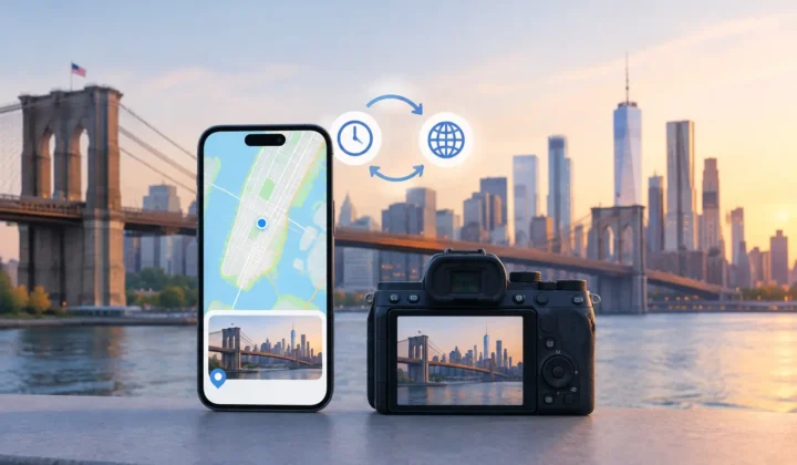
Timeline-based inference can be genuinely useful. A good app examines geotagged photos before and after an untagged group, then uses their timestamps and locations as anchors. This can restore context to photos saved from AirDrop or messaging apps, digitized prints, and images from Canon, Nikon, Sony, or Fujifilm cameras that did not record GPS data.
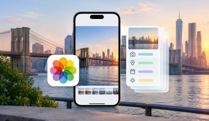
But inference is only as trustworthy as its limits. Look for software that groups related images and shows the surrounding evidence rather than presenting isolated guesses. You should be able to see whether a proposal rests on nearby anchor photos, a short and consistent time interval, or an assumption that becomes weaker as the gap grows.
Certainty should be expressed plainly. Color-coded states, timeline scale, and visible anchor images can help, provided they explain the reason for confidence instead of merely decorating a recommendation. The meaningful promise is not that every photo will receive a location. It is that the app will never present a confident pin it cannot justify.
This matters especially for old libraries. A folder of scanned prints may have a common import date that says nothing about where the original photographs were taken. A responsible tool can help organize such images, but it should invite manual placement or leave them unresolved when its timeline has no real evidence.
Watch for camera-clock problems
Dedicated cameras often have another complication: the clock may be wrong. A camera set several hours ahead can make perfectly valid GPS anchors appear unrelated to the images they should support. If the software ignores that offset, it may produce a neat but inaccurate result.
In geotagging software reviews, check whether the product detects likely clock offsets and lets you inspect or correct them. The correction should be understandable, tied to visible photos in the timeline, and subject to review. An automatic time adjustment that happens silently exchanges one hidden assumption for another.
Privacy Is Part of Accuracy
Photo locations can reveal homes, schools, routines, family gatherings, and travel patterns. That makes privacy architecture more than a checkbox in a feature table. Before importing a library, learn where image data is processed and whether the product requires an account, a cloud upload, or network analysis.
For many personal libraries, on-device processing is the appropriate default. The app can examine timestamps and metadata locally while the photos remain in the user’s existing library. There is no need to upload years of family images to a server merely to determine whether a sequence supports a location proposal.
A free-to-try model can also be evaluated on its practical boundaries. Does it let you scan your real library and understand the quality of results before you commit? Or does it conceal the key review stage behind a payment wall? The latter makes it harder to assess whether the tool understands your photos rather than a carefully selected demo set.
Review Before Apply Is the Essential Workflow
The safest workflow has three distinct stages: scan, confirm, and apply. Separating them prevents a discovery pass from becoming an irreversible editing pass.
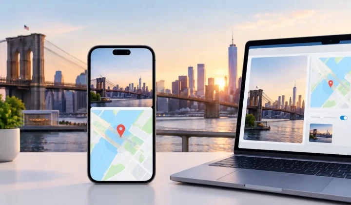
During scanning, the app identifies untagged images and finds possible timeline relationships. At this stage, it should not modify the photo library. During confirmation, it should present groups of proposals with their evidence and certainty. You should be able to accept a supported group, decline it, or edit the proposed place manually. Only then should the app write location metadata.
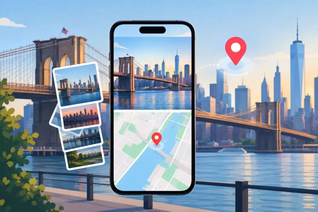
This grouped approach matters. Manually placing 800 photos one by one is tedious, but accepting a group of images from the same afternoon can be efficient without sacrificing judgment. A useful interface lets you inspect individual photos when needed while avoiding repetitive work when the evidence is shared.
Look for an explicit apply action rather than background edits that appear after a scan. The wording and interface should make it clear what will change, which photos are included, and whether a location is inferred or manually chosen. If the workflow blurs those distinctions, the reviewer’s job becomes much harder and the user’s confidence should drop.
Undo Is Not a Footnote
Location edits should be reversible. Even careful review can miss a mistaken camera time, a confusing travel day, or a group that includes one photo taken elsewhere. A reliable tool records its writes so the user can undo changes without hunting through a library to remember which images were edited.
Ask what undo actually means. Can it reverse the app’s own recent batch cleanly? Does it preserve locations that were already present? Can the user inspect what was changed before rolling it back? A vague claim of reversibility is less useful than a clear history of applied edits.
Preserving existing metadata is equally important. A geotagging tool should restore missing information, not overwrite locations that a camera or phone recorded correctly. Where a conflict exists, the app should call attention to it and ask for a decision.
The Best Tool Depends on the Gap You Are Fixing
No single approach is right for every library. A traveler with a continuous iPhone timeline may benefit from quick grouping and nearby anchors. A family archivist digitizing albums may need more manual location editing because a scan date cannot establish where a 1980s print was made. A photographer importing GPS-free camera files may care most about clock correction and careful matching against phone photos from the same trip.
That is why feature-count comparisons are often misleading. Map views, batch editing, and import support are useful, but they do not tell you whether the app distinguishes evidence from assumption. A smaller feature set with a careful review model can be the better choice for memories that matter.
Photo Geotag is built around this standard: it scans locally, proposes grouped locations from timeline evidence, labels certainty, and leaves the final decision with the user. The point is not to make every pin appear complete. It is to make the additions that are justified easy to review and apply.
A Practical Test Before You Trust an App
Use a small, varied sample before working on an entire library. Include a short gap between known locations, a long gap, an indoor photo, an AirDrop or messaging save, and a camera import if you have one. Then inspect how the software behaves in each case.
A credible product should be helpful with the short, well-anchored gap and restrained with the long or ambiguous one. It should surface uncertainty, allow manual correction, and leave your library unchanged until you confirm an apply action. If it cannot explain a proposal, it has not earned permission to write it.
The right geotagging tool will not make your library look finished by force. It will help you recover the places that the available evidence can support, while leaving the rest of your memories honestly unresolved until you know more.