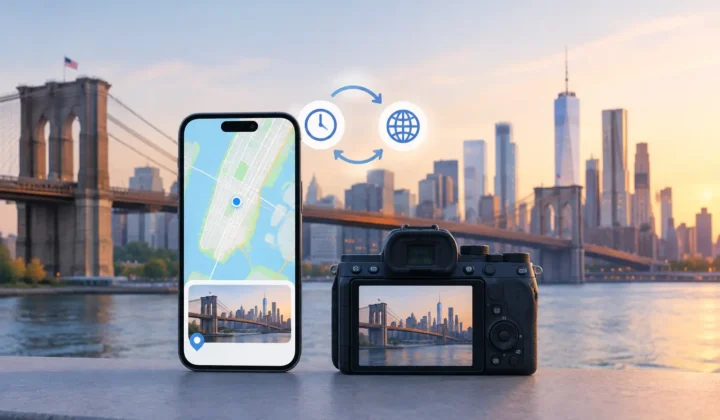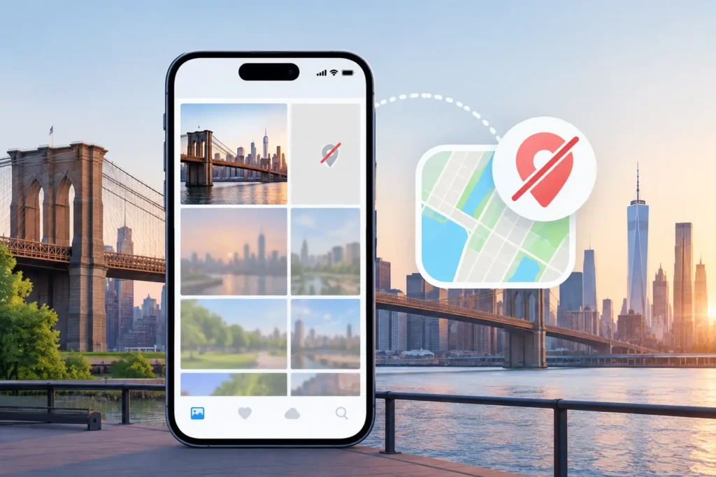
A photo of a birthday cake may still have its date, faces, and camera details, yet the place field is blank. That missing pin changes more than the map view. It can make a memory difficult to find years later, separate travel photos from the rest of an album, or leave a family archive without the context that gives an image meaning. Understanding why photos lose locations starts with a simple fact: location is separate metadata, and it is not guaranteed to survive every way a photo is captured, copied, edited, or imported.
A location is metadata, not part of the picture
A digital photo file contains the visible image plus additional information, often called metadata. This can include the date and time, camera model, exposure settings, orientation, and GPS coordinates. The coordinates are generally stored as latitude and longitude in the file’s EXIF metadata, while Apple Photos also manages information in its own library database.
Because GPS data is separate from the pixels, a photo can look unchanged while losing its location. A copy might preserve the date but omit coordinates. An export might reduce metadata to make a smaller file. An edit may create a new rendition with different metadata behavior than the original.
This is not always a failure. Some apps deliberately remove locations to protect privacy. The problem begins when that choice is invisible, or when a workflow strips more metadata than expected.
Why photos lose locations after sharing
Messaging and social apps are among the most common sources of missing location data. When you send an image through a service, the recipient often receives a newly generated copy rather than the exact original file. The service may resize the image, recompress it, remove camera details, and discard GPS coordinates in the process.
That is usually a sensible privacy default. A photo taken at home can reveal a precise address, and a location tag can expose more than the sender intended. But the result is that a saved image may arrive in Apple Photos with no usable place attached, even when the source image had one.
The behavior varies by app and by sharing method. AirDrop can preserve far more information when the sender shares the original, but it can also deliver an edited or exported version depending on the source and chosen action. WhatsApp and similar services commonly prioritize fast delivery and smaller files over complete metadata. A screenshot is another fresh image entirely. It records when the screenshot was made, not necessarily where the original photo was taken.
The practical distinction is between a file transfer and a visual copy. A file transfer may retain original metadata. A visual copy only needs to retain the appearance of the image.
Exports, edits, and privacy settings can change the result
The Share sheet on iPhone, iPad, and Mac can offer options that affect location sharing. If location is turned off before sending, the exported copy should not contain it. That protects the recipient and leaves the source photo unchanged, but it also means the returned or re-saved copy cannot restore coordinates on its own.
Editing apps introduce another variable. Some preserve EXIF information carefully; others create a new output file and retain only selected fields. Web uploads are especially unpredictable. A downloaded photo may carry its original timestamp but no GPS data, or it may have a new download or export date as well.
For photos that matter, keep an original-quality copy where possible. That is less about perfection than preserving the strongest available evidence before an image passes through several apps.
GPS was never certain at capture time
Sometimes no location was lost because none was recorded. An iPhone needs a usable location signal when the photo is taken. Outdoors, GPS and other location signals often provide a reliable result. Indoors, underground, between tall buildings, or in remote areas, the phone may not establish a location quickly enough.
A photo captured seconds after leaving an airplane, entering a museum, or opening the Camera app in a large building may therefore have no coordinates. The camera can still take the picture immediately. It does not wait for a location lock.
Permissions matter too. If Camera has no permission to access location services, images will not receive GPS coordinates. Low Power Mode, poor signal conditions, and temporarily disabled location services can also affect what gets recorded. The absence of a pin does not tell you which condition occurred. It only tells you the library has insufficient location data for that image.
This is why a nearby photo can be useful evidence without becoming proof. If two geotagged photos were taken four minutes before and four minutes after an untagged image, at the same park, that creates a strong case for review. If the nearest anchors are six hours apart, the same assignment may be unsupported. Someone could have traveled across town, changed venues, or taken a train to another city.
Scanned prints have dates without coordinates
Family archivists encounter a different kind of gap. A scanned print begins as paper, so it never had GPS metadata to lose. The scanner creates a digital file at the time of scanning, not at the time the original photograph was taken.
A scan may inherit a filename, an approximate date entered during organizing, or notes written in an album. But the location must come from context: a landmark in the frame, a handwritten caption, the address of a childhood home, or nearby photos from the same event. That makes location work more interpretive than technical.
It is worth separating an exact place from a meaningful place. “Grandma’s house in Columbus” may be far more accurate than placing a pin on a particular street corner that no one can verify. Metadata should preserve what is known, not create a more precise story than the evidence supports.
Dedicated cameras often have no GPS hardware
Many Canon, Nikon, Sony, and Fujifilm cameras produce excellent image files without recording any location at all. Some models offer optional GPS accessories, companion-app logging, or phone connections, but none of those are universal. A camera’s internal clock can provide a helpful timeline, yet time alone is not a coordinate.
Imported camera files create another complication: clock drift. A camera may be set to the wrong time zone, remain on daylight saving time after a trip, or be off by several minutes. If you compare its photos with iPhone photos captured during the same day, the sequence can appear misleading until the offset is corrected.
A careful geotagging workflow should detect that pattern rather than blindly match the closest timestamp. For example, if every camera image appears two hours ahead of nearby iPhone anchors, the issue is likely the camera clock. Correcting the offset can turn a confusing timeline into a defensible one.
Why photos lose locations during library migration
Moving between devices and photo services can preserve the visible library while altering the underlying files. A migration may retain locations in the destination catalog but not in exported copies. A duplicate finder may select a lower-quality version without full metadata. A backup may restore an older derivative rather than the original.
This does not mean migrations are inherently unsafe. It means the details matter: whether the process transfers originals, whether it includes metadata, and whether the receiving library recognizes the same fields. Before deleting a source library or an old drive, inspect a small set of representative images: recent iPhone photos, shared images, edited pictures, scans, and dedicated-camera imports.
Restore context without turning inference into guesswork
The fastest-looking answer to missing locations is to assign a place automatically. It is also the approach most likely to create errors that are difficult to notice later. A confident-looking map pin can conceal weak evidence.
A better approach groups untagged photos between known timeline anchors, shows the surrounding locations and time gaps, and lets the person who owns the memories decide. Photo Geotag follows that model locally on iPhone, iPad, and Mac: it scans for supported proposals, labels certainty explicitly, and leaves unsupported images without a claimed location. Nothing should change until you confirm it, and a manual adjustment should remain available when you know more than the timeline can show.
The goal is not to make every photo appear complete. It is to preserve the places you can justify, leave uncertainty visible where it belongs, and give future searches a more faithful record of the life behind the library.