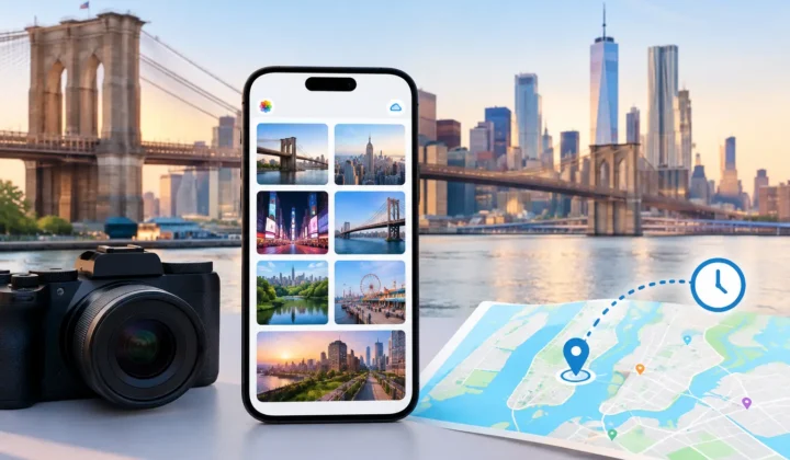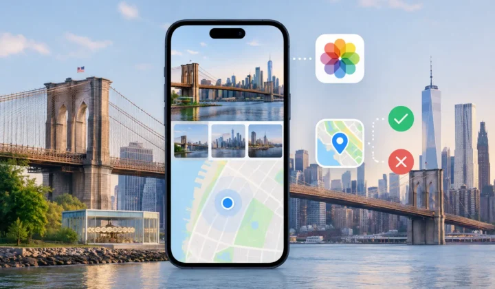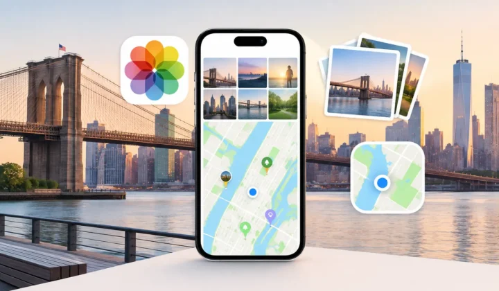
A Fujifilm photo geotagging app is most useful after the photographs have already reached your Apple Photos library. Fujifilm cameras can produce excellent files with precise capture times, but many bodies do not record a GPS position in every image. The result is familiar: a trip appears in your library as a sequence of beautiful photos that can be searched by date, but not by the place where they were made.
That missing context is more than a cosmetic problem. Location metadata helps distinguish one beach from another, retrieve photos from a particular city, and preserve the story behind a family trip years after the itinerary has been forgotten. The right approach is not to place every untagged image on a map automatically. It is to determine which locations are supported by evidence, present them for review, and leave uncertain images alone.
Why Fujifilm photos lose location data
A dedicated camera usually has a more complicated relationship with location than an iPhone. An iPhone has GPS, a cellular connection, and a photo library designed around location-aware capture. A Fujifilm camera may rely on a companion phone connection, a separate GPS accessory, or no position source at all. Even when a phone-based workflow is available, it can be unreliable in practice if the connection drops, the camera is used independently, or location sharing was not active.
Importing can also create gaps. You may copy Fujifilm RAW files and JPEGs from an SD card to a Mac, use an editing workflow that exports new files without all original metadata, or save selected images through a messaging app. In each case, the image may retain its capture time while losing its coordinates.
The timestamp is valuable evidence, but it is not a location by itself. A photo shot at 2:14 PM can only be placed responsibly when other information gives that time meaning.
What a geotagging app should infer, and what it should not
The most useful evidence often exists elsewhere in the same library. Imagine that your iPhone has a geotagged photo of a museum entrance at 2:10 PM, followed by eight untagged Fujifilm images captured between 2:12 and 2:26 PM, followed by another geotagged iPhone photo from the museum courtyard at 2:29 PM. Those neighboring images create a reasonable case that the Fujifilm sequence belongs at the museum.
Now change the gap. If the first anchor is from lunch at noon and the next is from a hotel at 6:00 PM, placing every intervening camera image at either location would be unsupported. You may have walked through several neighborhoods, taken a train, or photographed somewhere entirely different. A careful app should recognize that the elapsed time is too broad to justify a pin.
This distinction matters because a wrong location can be harder to notice than a missing one. Once an inaccurate coordinate is embedded in hundreds of files, future searches can make the error feel authoritative. Good geotagging treats a blank location as an honest state, not a defect that must always be filled.
How a Fujifilm photo geotagging app should work
For an existing Apple Photos library, the practical workflow has three stages: scan, confirm, and apply. Each stage should remain visible to the person who owns the library.
Scan the timeline for evidence
The app begins by finding photos without locations and examining the geotagged photos around them in time. It should consider how close the images are to each other, whether the nearby anchors agree on a place, and whether the untagged photos form a meaningful group rather than an isolated image.
Grouping is useful for Fujifilm imports. A camera session may contain 40 images from one walk, all missing coordinates, while an iPhone provides only a few location-bearing reference photos. Reviewing the session as a group is faster and clearer than opening 40 separate map screens.
Time is not always as straightforward as it appears. If a Fujifilm camera clock was set incorrectly after travel or drifted over time, its images may seem to fall hours before or after the relevant iPhone photos. A capable workflow detects a consistent offset and lets you correct it before evaluating location proposals. Without that correction, otherwise strong evidence can appear misleading.
Confirm proposals with visible certainty
A proposal should show the anchors that support it. You should be able to see the nearby photos, their times, the proposed place, and the size of the gap that connects them. A short interval with matching location anchors deserves more confidence than a long interval with distant or conflicting anchors.
Clear certainty states matter more than decorative map pins. A high-confidence proposal might be appropriate for a tightly bounded sequence between two photos taken a few minutes apart in the same area. A lower-confidence proposal may still be useful as a starting point, but it should ask for closer review. Where no proposal can be justified, the app should say so plainly.
This is also where manual control belongs. Perhaps the evidence points to downtown Boston, but you know the camera images were taken at a gallery across the river after a ride-share trip. You should be able to edit the proposed location, adjust the group, or reject it. The software can organize evidence; it cannot replace memories you have that were never recorded in the files.
Apply only the changes you approve
Geotagging writes metadata into a photo library, so the final step should be deliberate. Review the selected groups, confirm the location, and then apply the changes. A journal of writes and dependable undo are not minor conveniences here. They are safeguards for a collection that may include years of family history.
Photo Geotag follows this model on iPhone, iPad, and Mac: it examines photo timelines on-device, groups supported proposals, and requires confirmation before changing metadata. It does not need an account or cloud upload to process personal photos. That local-first design is particularly appropriate for library-wide work, where the photos may include private homes, children, travel patterns, and material you would not send to a remote service merely to add coordinates.
Choosing between capture-time GPS and library repair
If you are planning a future Fujifilm trip, recording locations during capture can be worthwhile. A camera-to-phone workflow may provide more direct GPS data, and accurate original coordinates are preferable when the system works consistently. Test it before an important trip, including airplane mode, battery-saving settings, and the way you normally transfer files.
But capture-time GPS is not the only sensible choice. It can drain a phone battery, require a persistent connection, and fail indoors or in areas with poor signal. Some photographers prefer to keep the camera workflow simple and repair location context afterward, using the broader evidence in their Apple Photos library.
For older imports, scanned prints, and files received from someone else, afterward is the only option. In those cases, a timeline-based review process is usually safer than manually assigning a location photo by photo. It reduces repetitive work without pretending that every timestamp proves a place.
A few checks before you commit
Before approving a large Fujifilm group, look for consistency. Do the supporting images show the same stop on the day? Is the gap short enough that travel is plausible? Does the camera time align with your phone photos, or is there a clear offset? If the answer is uncertain, narrow the group or leave it untagged.
Also consider precision. A city-level placement may be defensible when you know the general destination but not the venue. A precise pin at a specific building should require correspondingly precise evidence. Metadata can be useful without claiming more certainty than the record supports.
The best location repair preserves both searchability and truthfulness. When a Fujifilm image can be connected to a place with clear evidence, add that context carefully. When it cannot, keeping the location blank leaves room for better evidence later – and keeps your photo library honest.