A Canon photo can preserve the exact second a shutter was pressed while remembering nothing about where it happened. That gap becomes obvious later: a family trip is scattered across map views, a landscape shoot cannot be found by place, or a set of imported RAW files sits outside the story told by the rest of your Apple Photos library.
To geotag Canon photos without GPS, you need more than a plausible pin. You need evidence that connects an untagged camera image to a known place, plus a workflow that makes uncertain cases visible instead of quietly filling them in. For most personal libraries, timestamps from nearby iPhone photos are the strongest starting point.
Why Canon Photos Often Arrive Without Location Data
Many Canon cameras record capture time in EXIF metadata but do not have a built-in GPS receiver. Even models with location features may not record a usable position if GPS was disabled, a connection was unavailable, or the camera was indoors. Importing files through a card reader also does not create location data that was never written by the camera.
The missing metadata is not necessarily a problem at capture time. It becomes one when you want to search Apple Photos for a particular beach, museum, neighborhood, or relative’s home. A date can narrow the field, but it cannot place the photo on a map.
The practical question is not whether a location can be assigned. Almost any image can be assigned somewhere. The question is whether the available evidence supports that assignment.
Start With Location Anchors, Not Guesses
An anchor is a photo with a known location taken near the time of your Canon images. Most often, it is an iPhone photo from the same outing. It might also be a geotagged image from another camera, a location log, or a manually verified point in your library.
Imagine you take an iPhone photo of a trailhead at 10:14 a.m., shoot ten Canon frames between 10:16 and 10:28, then take another iPhone photo at a lake overlook at 10:31. The Canon frames are likely associated with the same stop or a short movement along that route. That is useful evidence, though it still deserves review if the trailhead and overlook are far apart.
Now compare that with a Canon image captured at 2:00 p.m., positioned between geotagged iPhone photos from 9:00 a.m. at a hotel and 8:00 p.m. at a restaurant across town. A pin midway between those places would be invented, not inferred. A careful system should leave that photo unplaced until you can provide better context.
Check Your Camera Clock First
Time-based geotagging depends on clocks agreeing closely enough to tell the same story. Canon camera clocks are commonly a few minutes off, especially after battery changes, travel across time zones, or daylight saving time changes. A one-minute difference may not matter during a quiet afternoon at home. It can matter a great deal when you moved through several locations in an hour.
Look for repeated offset patterns. If Canon photos consistently appear 47 minutes before corresponding iPhone pictures, correct the camera time relationship before evaluating locations. If the offset changes within the same set, do not force a single correction. You may be looking at multiple imports, a clock that was reset, or images captured on different bodies.
A good workflow detects this pattern rather than treating every mismatch as a location problem. Correct time alignment first, then reassess the location evidence.
A Reviewable Workflow for Geotagging Canon Photos
The safest process has three stages: scan, confirm, and apply. Each stage has a different purpose.
Scan for Untagged Images Between Known Places
Begin by identifying Canon images with no location metadata and viewing them on a timeline alongside geotagged photos. The useful unit is usually a group, not a single file. A sequence of 80 Canon shots from a two-hour walk should be assessed in context, with the nearby iPhone images visible as anchors.
Short gaps can be highly informative. If an untagged Canon burst falls four minutes between two geotagged iPhone photos made at the same café, the evidence is strong. Longer gaps need more caution. A six-hour interval can contain a drive, a flight, several stops, or nothing at all. The timeline scale matters because it prevents a large uncertainty from looking deceptively small.
Confirm the Proposed Location
Before writing anything, inspect the proposal against what is visible in the photos. Does the architecture, terrain, weather, or event match the anchor images? Are the proposed frames part of one stationary scene, or does the group include a change of location? If a sequence begins at a train station and ends at a park, split it rather than applying one pin to the entire group.
Certainty should be explicit. A high-confidence proposal might be supported by close timestamps and matching anchors before and after the Canon sequence. A lower-confidence proposal may have only one nearby anchor or a larger time gap. Low confidence is not a prompt to rush. It is an invitation to review, adjust manually, or leave the images without a location.
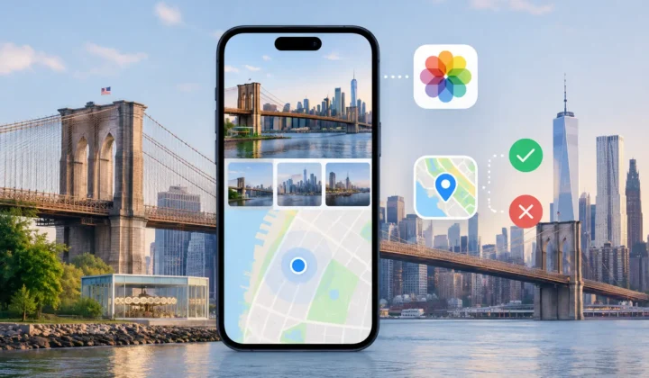
Photo Geotag is designed around this distinction. It analyzes location evidence on-device, groups related untagged images, and presents proposals for confirmation. It does not draw a confident pin it cannot justify, and it does not silently apply a guess.
Apply Only the Locations You Approve
Once a group is correct, apply the location metadata to that group. If the proposal is close but not exact, edit the location before applying it. If it is unsupported, skip it. A partially geotagged library with trustworthy locations is more valuable than a fully geotagged library filled with invented precision.
Keep the scope narrow when you are first working through a large import. Review one day, trip, or event at a time. This makes clock-offset mistakes easier to spot and reduces the chance that a location from one part of the day is carried into another.
When Other Methods Make Sense
Timestamp inference is not the only option. If you recorded a dedicated GPS track during a hike or drive, matching the Canon capture times to that track can be very accurate. It is especially useful when there are few iPhone photos along the route. Its limitation is the same: the camera clock must be correct, and the track must cover the relevant period.
Manual placement is often best for old camera imports, indoor shoots, and events where you know the venue but have no nearby geotagged anchors. Apply the location at the event or venue level, then avoid pretending that every frame has a distinct, exact coordinate. A photo taken inside a large museum may be accurately associated with the museum without being accurately associated with one room.
For trips with several cities, use a combination. Let close timestamp evidence handle well-documented portions, manually review transitions, and leave unclear periods alone until another clue appears. A later scanned receipt, message, or image may supply the missing context.
Protect the Context You Are Restoring
Location metadata can reveal sensitive routines, homes, schools, and travel patterns. That is a reason to be deliberate not only about accuracy, but also about where the work happens. Consider whether a tool requires uploads, account creation, or network processing before you let it scan a lifetime of personal photos.
An on-device workflow keeps the review close to the library you already control. It also makes the decision process easier to audit: you can see the anchors, inspect the time gap, change a proposal, and undo an edit if you later find better evidence.
Your Canon files do not need a GPS receiver to regain their place in your library. They need enough context, an honest measure of certainty, and your approval before a memory is placed on the map.