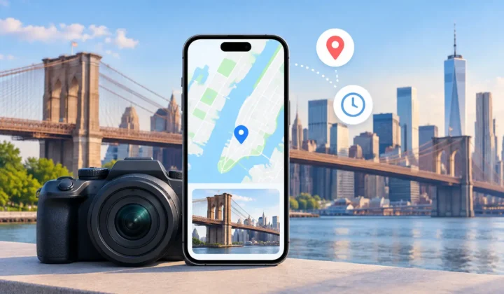
A scanned print from 1998 may show a family kitchen you recognize instantly, yet its digital file knows nothing about where it was taken. The same gap appears after an AirDrop transfer, a WhatsApp save, or an import from a Canon, Nikon, Sony, or Fujifilm camera without GPS. Local photo processing addresses that missing context without requiring your library to leave your devices.
For a personal photo library, location metadata is not trivial administrative detail. It determines whether you can find every photograph from a particular trip, reconstruct an old family timeline, or separate two similar-looking events that happened years apart. But restoring it asks for care. A location pin can make a photo easier to find, or it can quietly introduce a false memory.
What Local Photo Processing Actually Means
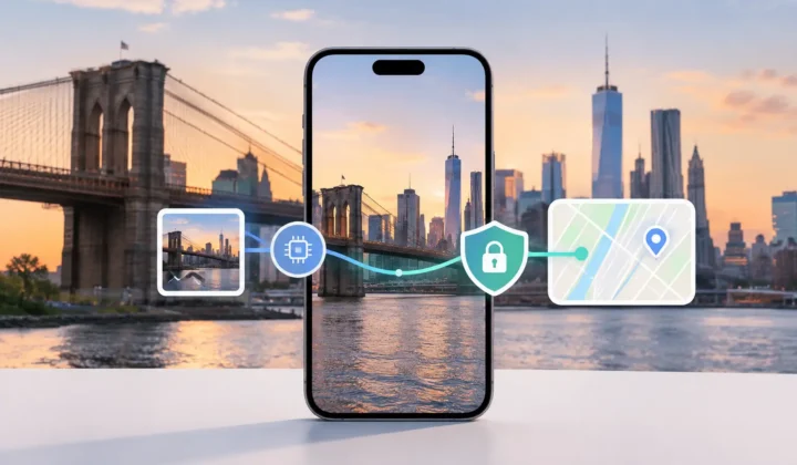
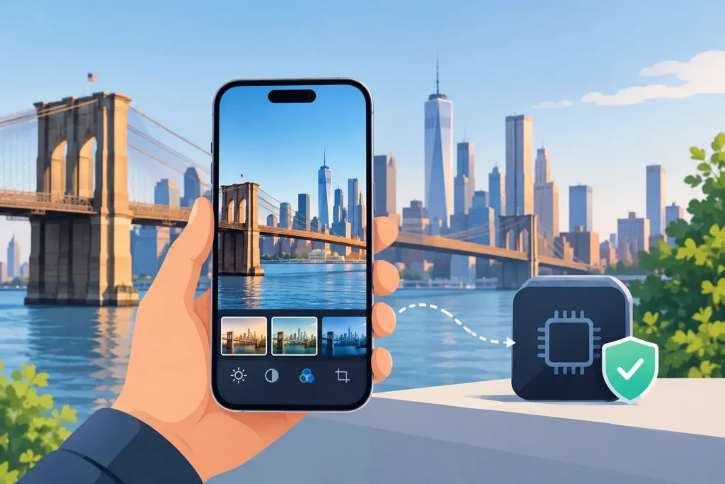
Local photo processing means the analysis and proposed edits happen on your iPhone, iPad, or Mac rather than on a remote server. Your photos are not uploaded for someone else’s system to inspect, classify, or retain. There is no account required to begin work, and no network-based processing step standing between your library and the result.
That distinction matters most with a large, long-lived library. Photos can contain faces, homes, children, travel patterns, documents, and moments you would never choose to send to a general-purpose service. Even when a cloud service makes careful security promises, sending a library away introduces a dependency: its retention policies, account security, business decisions, and the simple fact that copies must travel elsewhere.
Local processing does not mean an app can make better decisions merely because it is private. Privacy and accuracy are separate requirements. A trustworthy workflow needs both: your images remain on device, and the software is candid about what the available evidence can and cannot establish.
Location Inference Needs Evidence, Not Optimism
The most useful source of evidence is often already in your library. Consider an untagged photo placed between two geotagged images in time. If the first image was taken at a museum at 2:03 PM and the next was taken at the same museum at 2:07 PM, the missing image at 2:05 PM has meaningful support for that location.
Now change the interval. If the known photos are six hours apart, with one in Chicago and one in Milwaukee, placing every untagged photo between them at either location would be unsupported. The person could have stopped anywhere, traveled by several routes, or photographed something while moving. A correct system should recognize that the timeline has become too ambiguous.
This is the difference between inference and guessing. Inference uses nearby timestamps, known coordinates, grouping patterns, and the practical limits of travel. Guessing treats an empty metadata field as a problem that must always receive an answer.
Photo Geotag is built around that distinction. It scans for untagged images surrounded by location-bearing photos, then presents grouped proposals for review. When the evidence supports a placement, the proposal can be useful. When it does not, the app should not manufacture certainty. Never a confident pin it cannot justify.
A proposal is not an edit
A proposed location should remain visible as a proposal until you confirm it. This preserves a necessary separation between analysis and change. You can inspect the timeline, see the anchor photos on either side, assess the size of the time gap, and decide whether the suggested place fits what you remember.
That review step is especially valuable for family archives. A sequence of scanned prints may be dated only to the day or to an approximate period. A single incorrect date can make nearby images appear related when they are not. Likewise, travel photos can have long pauses between shots, hotel transfers, and time-zone changes that alter what looks obvious at first glance.
A good interface communicates certainty plainly. High-confidence proposals should not look identical to weaker possibilities, and uncertain cases should remain easy to skip or edit. Color-coded confidence and timeline scale are not decorative details. They help you judge whether a four-minute gap deserves different treatment than a six-hour gap.
The Camera Clock Can Change the Result
Dedicated cameras create a distinct problem. Their files may have excellent capture timestamps but no GPS coordinates. If the camera clock was accurate, those timestamps can line up neatly with location-tagged iPhone photos from the same day. If it was off by an hour, a day, or several time zones, otherwise valid evidence can point to the wrong part of the timeline.
This is why clock correction should be part of a serious geotagging workflow. The system needs to detect a likely offset instead of assuming every device recorded time identically. You should be able to review the adjustment before it affects any location proposal.
There is no universal answer for mixed-camera libraries. A photographer who used a camera only during one afternoon may need a simple correction. Someone importing years of files from multiple bodies may have separate offsets, inaccurate timestamps, or gaps with no reliable phone photos nearby. The appropriate response is not to force consistency. It is to identify which groups have enough evidence and leave the rest open for manual placement.
A Safer Workflow for Restoring Missing Locations
The clearest approach follows three stages: scan, confirm, apply.
During the scan, the app identifies photos with missing location metadata and examines their place in the timeline. It looks for neighboring photos that can serve as anchors, rather than treating every image as an isolated file. Grouping related candidates prevents the tedious task of approving the same reasonable location one image at a time.
During confirmation, you review the evidence. Look at the proposed location, the before-and-after anchor photos, the timestamp interval, and the confidence state. If a proposal covers photographs from a restaurant visit between two known city locations, it may be reasonable. If the group spans a day of travel, manual adjustment or no edit at all may be the more honest choice.
During application, only confirmed changes are written to the library. This step should be deliberate and journaled so edits can be understood and reversed. Reversibility matters because even a well-supported decision can later be corrected by new information: an old itinerary, a relative’s memory, or a newly imported set of accurately geotagged photos.
Local Processing Protects More Than Privacy
Keeping processing on device is often discussed as a privacy benefit, and it is one. It also supports a more durable relationship with your library. Your ability to organize personal history should not depend on maintaining an account with a third party or waiting for remote analysis to complete.
It gives you a clearer boundary as well. The app can inspect the metadata and relationships necessary for the task, while you remain the person who decides whether a proposed description of the past is accurate enough to keep. That is a better model for photo organization than silent automation.
Not every missing pin should be restored. Some photos have no trustworthy temporal neighbors, some camera clocks cannot be reconciled, and some places are simply not worth recording precisely. Leaving those images untagged is not a failure of the process. It is an accurate reflection of the evidence available.
Your photo library is a record, not a dataset to be completed at any cost. Process it locally, review each meaningful proposal, and let uncertainty remain visible where certainty has not been earned.