
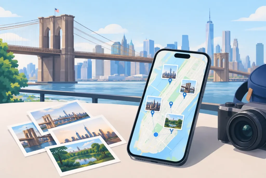
A beach photo without a place name is not just missing a pin. It is missing the connection to the hotel you stayed in, the road trip that led there, and the rest of the images taken that afternoon. When you map old vacation pictures, the goal is not to make every image look complete at any cost. It is to restore location context where the evidence supports it, while leaving uncertainty visible where it does not.
For Apple Photos users with years of scanned prints, AirDropped albums, messaging app saves, and camera imports, that distinction matters. A wrong location can be harder to notice than a missing one. It may send a family photo to the wrong city, merge separate trips, or make a library less trustworthy precisely because it appears organized.
Start with the strongest evidence
Old vacation photos rarely arrive with one clean source of truth. The best results come from combining evidence that already exists in your library, rather than trying to reconstruct a trip from memory alone.
First, look for images from the same trip that still have location metadata. iPhone photos often retain a precise GPS coordinate, even when photos received through an app or imported later do not. Those geotagged images can act as anchors: known points in a timeline that help establish where nearby untagged photos were likely taken.
Time is the next useful signal. A photo captured four minutes after a geotagged restaurant shot may reasonably belong at the same venue or nearby. A photo captured six hours later might have been taken across town, at the airport, or on a different day of the trip. The gap changes what can be justified.
Other records can help validate a proposed place. A hotel confirmation, a flight itinerary, a paper map in the frame, a museum sign, or an album title can narrow the possibilities. Use these sources to review a location, not as permission to force every image into a precise spot. Knowing that a photo was taken in Paris is different from knowing it was taken on a particular street.
Treat scans differently from digital originals
Scanned prints often have unreliable dates. A scanner may assign the date of scanning, while image-editing software may preserve only a rough year. Before using a timestamp as evidence, check whether it reflects the original capture date or a later import date.
If the date is uncertain, work at the level the evidence supports. You may be able to identify a city, park, or resort without knowing the exact afternoon. That is still useful metadata, and it is more honest than assigning a precise coordinate based on a fragile assumption.
Prepare your library before adding locations
A little preparation prevents broad mistakes. Create a temporary album for the trip or period you are researching, then gather both the untagged images and the likely anchor photos. This keeps the review focused and makes patterns easier to see.
Check for duplicates and near-duplicates as well. The same photo may exist as an original camera file, a cropped edit, and a compressed copy saved from a group chat. If one version has a reliable location, it can help identify the others, but each file still deserves its own review. Similar pixels do not prove identical capture circumstances.
Dedicated camera imports require one additional check: camera clock accuracy. Canon, Nikon, Sony, and Fujifilm files commonly lack GPS data, but their capture times can be highly useful when paired with phone photos from the same outing. That only works if the camera clock was correct.
A clock offset of several hours can make adjacent photos appear unrelated or place a morning hike beside a dinner photo. Compare a recognizable event captured on both devices, then determine whether the camera was ahead or behind. Apply any correction carefully and only to the relevant set of files. A camera might have been corrected between trips, or left on home time during travel.
Map old vacation pictures in reviewable groups
Manual geotagging one photo at a time is accurate, but it becomes exhausting quickly. Grouping images by a shared, evidence-backed location is usually the better workflow. The key word is shared: a group should reflect an actual stop, venue, neighborhood, or clearly bounded portion of a trip, not simply a convenient batch size.
Start at a known anchor photo and examine the untagged images around it in chronological order. Ask three practical questions: How close are the timestamps? Is there another anchor that limits the likely movement? Do the images themselves show a change in place, such as moving from a hotel room to a trailhead?
When the answer is clear, propose a location for the group and inspect it before applying anything. A map view is useful, but the timeline is equally important. A pin can look plausible on its own while making no sense between the photos before and after it.
This is where a purpose-built workflow can reduce repetitive work without turning the task into blind automation. Photo Geotag scans an existing Apple photo library for untagged images positioned between geotagged photos, then presents grouped proposals for review. It processes the library on-device, without an account, cloud upload, or network processing of personal photos.
The meaningful safeguard is not that an app can suggest a pin. It is that the suggestion communicates its basis and limits. Strong proposals might be supported by nearby anchors with short time gaps. Weaker cases may warrant a broad place label, manual adjustment, or no change at all. The app should never silently guess, and it should never draw a confident pin it cannot justify.
Match precision to the available proof
A location can be correct at different levels. A photo of a family at a theme park may support the park itself, but not a particular ride. An image of a mountain vista may support a national park, but not a trail intersection. Save exact coordinates for cases with exact evidence.
This approach also protects privacy. Photos taken at a vacation rental, a family member’s home, or a child’s activity may not need the most precise location available. If you plan to share copies, consider whether a city-level or landmark-level tag is more appropriate. Location metadata is useful, but it can reveal more than the image suggests.
Know when to leave a photo untagged
Some photos cannot be placed responsibly. Indoor images with no landmarks, images transferred without original timestamps, and long gaps between anchors may offer too little evidence. A blank location field is not a failure of organization. It is an accurate record of what is unknown.
Be especially cautious at the start and end of a travel day. Airport photos, roadside stops, and hotel check-ins often occur in rapid succession with location changes that are easy to blur together. The same applies to cruises, train travel, and amusement parks, where a coordinate can shift often while the visual context remains similar.
If you have a likely answer but cannot defend it, add context elsewhere instead. A descriptive caption such as “somewhere near the Blue Ridge Parkway” can preserve the memory without asserting a false coordinate. You can revisit the image later if new evidence appears.
Apply changes in small, reversible passes
Do not attempt a decade of trips in one sitting. Work by vacation, city, or album, and apply a reviewed set before moving on. Small passes make it easier to notice a mistaken clock correction or an overly broad group.
Keep a record of meaningful edits, particularly when working with scanned family archives. Note the source of the location evidence and the level of confidence you assigned. A future family member may know more than you do, and a clear record makes correction easier.
Before sharing or exporting images, inspect the resulting metadata. Some export methods strip location data, while others preserve it. Neither behavior is automatically right. Choose based on the audience and the purpose of the copy.
The reward for careful work is not a map filled with pins. It is a photo library that can answer useful questions truthfully: where did this trip begin, which beach was that, and what else happened nearby? Give your old vacation pictures the context the evidence can support, then let the uncertain ones wait without pretending.