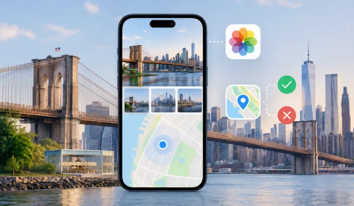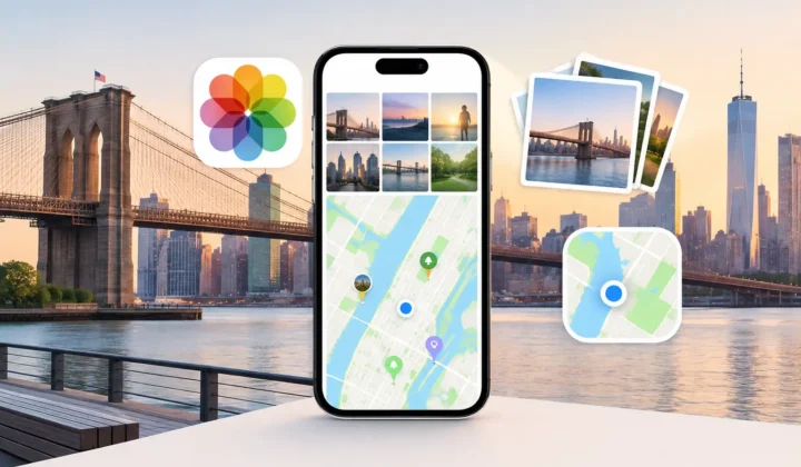

A photo taken at 2:14 PM between two pictures already tagged at the same museum may have more location evidence than it appears to. A photo taken at 2:14 PM between a breakfast snapshot in Boston and a sunset photo in Seattle does not. The question, can timestamps reveal photo locations, has a useful answer: sometimes – but only when the surrounding timeline justifies the placement.
A timestamp is not a coordinate. It cannot tell you whether a photo was taken in a particular room, on a certain street, or even in a particular city by itself. What it can do is connect an untagged image to other photos whose time and location are known. Used carefully, that connection can restore context to large parts of a library without turning uncertain memories into false metadata.
What a timestamp can actually tell you
Every photo has a capture time, or at least a date that software can use to place it in a timeline. When an image lacks GPS data, that time becomes a point of comparison. The strongest evidence comes from nearby photos that do have coordinates: the images immediately before and after it, plus other location-tagged images taken in the same period.
Consider a short sequence from a family trip. Your iPhone tags photos at 10:02 AM and 10:08 AM at the entrance to a zoo. A camera image captured at 10:05 AM sits between them. Assuming the camera clock is accurate, assigning the zoo location to that image is a reasonable proposal. The time gap is small, both anchor photos agree, and there is no evidence of travel between them.
The same logic applies to photos saved from a message, received by AirDrop, or imported from a dedicated camera. The file may have lost its coordinates, but its capture time can still align with a well-documented part of your library.
That is inference, not recovery. The original GPS coordinate is gone. A careful tool is proposing the most justified location based on the evidence that remains.
When timestamps reveal photo locations well
Timestamps work best when the timeline is dense and stable. A day spent walking through one neighborhood, attending a wedding at one venue, or visiting a museum produces many nearby anchors. The shorter the interval between a missing-location image and known-location images, the less room there is for an unsupported assumption.
Agreement matters as much as proximity. If the anchor photo before an untagged image is at a hotel and the anchor photo after it is also at that hotel, the evidence points in one direction. If one anchor is at a trailhead and the next is at a restaurant 20 miles away, the untagged image could belong to either stop, somewhere in transit, or an entirely different place. A timestamp alone cannot settle that question.
Images captured indoors are another common case. Phones often fail to obtain a GPS lock inside arenas, homes, galleries, and large buildings. If an indoor photo falls minutes after an exterior image at the same venue, a location proposal may be well supported even though the indoor image has no GPS metadata of its own.
Scanned prints can also benefit, with an important qualification. If scans were assigned the date of the original event, neighboring photos may provide meaningful context. If every scan received the date it was digitized, the scan time says nothing about where the original photograph was taken. The distinction is easy to miss and should be checked before applying any locations.
The four-minute gap and the six-hour gap
Time distance changes the quality of the evidence. A four-minute gap between consistent anchors can support a specific proposal. A six-hour gap usually cannot, even if both surrounding photos happen to be in the same city.
People travel, split up, visit multiple places, and take breaks from photographing. A long quiet period in a timeline is not empty evidence. It is uncertainty. Treating it as a straight line between two pins creates a tidy map at the expense of an accurate library.
Why camera clocks can change the answer
Dedicated cameras introduce a complication: their clocks are often wrong. A Canon, Nikon, Sony, or Fujifilm camera may be set a few minutes ahead, left on a previous time zone, or drift over months of use. If you compare its timestamps directly with iPhone photos, a correct sequence can look out of order.
A small offset may be obvious. Perhaps every camera image from a trip appears exactly one hour before corresponding phone images. Correcting that offset can transform weak-looking evidence into a coherent timeline. A larger or inconsistent offset needs more caution. It may indicate that the camera was reset, that several cameras were used, or that the date itself is incorrect.
This is why automatic placement should not treat timestamps as fixed truth. A reliable workflow looks for patterns, exposes the proposed clock correction, and lets you verify it against recognizable moments: an airport gate, a birthday cake, a landmark, or a photo taken simultaneously by two devices.
Can timestamps reveal photo locations without guessing?
They can reveal a justified proposal, not certainty in every case. That difference should remain visible throughout the process.
The safest approach is to group untagged photos by their surrounding timeline evidence rather than handling every image as an isolated problem. A group might contain 18 camera photos captured during a two-hour visit to a botanical garden, bracketed by geotagged iPhone photos from the same visit. Reviewing one grouped proposal is faster than placing 18 pins by hand, while still giving you a chance to reject or adjust it.
Certainty should also be communicated plainly. Strong evidence might mean close anchors at the same location. Moderate evidence might mean anchors within a limited area but not at the exact same point. Weak or conflicting evidence should not produce a confident pin at all.
Photo Geotag is designed around that boundary. It scans the timeline for untagged photos between location-tagged images, presents grouped proposals with the supporting context, and leaves the final decision with you. Processing stays on your device. There is no account, cloud upload, or network analysis of your personal library.
That privacy choice has a practical benefit as well. Your library remains the source of evidence, and each change can be reviewed in the same environment where you organize and revisit your photos.
A careful review process
Start by looking at the timeline around a proposed location. Check the nearest tagged images and ask whether they represent the same event, not merely the same date. A morning at a hotel and an afternoon at a nearby attraction may be close enough on a map to look plausible, but they are different locations with different stories.
Then inspect the time scale. Minutes, hours, and days should not be treated alike. A proposal supported by photos taken immediately before and after deserves more confidence than one separated by an unphotographed afternoon.
Finally, use the image itself. Visual clues can confirm or challenge a proposed place: architecture, event decorations, weather, landscapes, uniforms, menus, or familiar people. Metadata inference works best when it is allowed to meet human memory. If the proposal is broadly right but too specific, edit it. If it is wrong, reject it. If the evidence is insufficient, leave the photo untagged.
Applying a location should be reversible. A location field may seem minor, but it affects search, maps, smart albums, and the story your library tells years from now. Keeping a journal of changes and supporting undo respects that consequence.
A well-organized photo library does not require every image to carry a pin. It requires the pins it does carry to mean something. Let timestamps supply context where the timeline supports it, and let uncertainty remain visible where it does not.