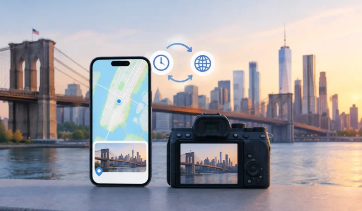
A missing location is not merely an empty field in a photo library. It is the difference between finding the pictures from a family cabin trip in seconds and scrolling through years of images that all look vaguely familiar. Offline photo tools give Apple users a way to organize and repair that context without sending a personal library to a server for analysis.
That distinction matters most when the work involves more than cosmetic editing. Location metadata can describe where a child took their first steps, where a scanned family print was made, or which trail produced a photograph from a dedicated camera. Any tool that changes it should make its evidence, limits, and consequences clear.
What makes a photo tool truly offline?
An offline tool processes your photos and their metadata on the device you control. It does not require you to create an account, upload originals to a remote service, or wait for a cloud job to finish before you can review the result. For a large Apple Photos library, this is often the practical choice as well as the private one.
“Offline” should not be treated as a vague privacy label. Before relying on an app, look at the actual workflow. Does it inspect the library locally? Does it send image files, thumbnails, timestamps, or location history elsewhere? Does it need a subscription account to perform a basic metadata task? Can you use it while traveling or when your connection is unavailable?
Some tools work locally for edits but depend on online services for face recognition, image enhancement, or location lookup. That may be acceptable for a task where you consciously want those services. It is less appealing when the job is to examine years of personal images and their movements through time.
Local processing also keeps the review loop short. You inspect a proposal, decide whether the evidence is sufficient, and apply a change to your own library. There is no handoff to an opaque system that has made decisions before you can see what it used.
Offline photo tools solve different problems
The phrase covers a wide range of software. A useful choice starts by identifying the problem rather than looking for one app to do everything.
A local editor is designed for visual changes: crop, exposure, color, retouching, and export. A duplicate finder compares similar images so you can reduce clutter. An archive manager helps with filenames, folders, captions, and ratings. Metadata utilities read and write fields such as capture date, camera model, copyright, and GPS coordinates.
Those categories overlap, but the trade-offs are real. A full digital asset manager may provide detailed metadata controls while adding a separate catalog to maintain. A lightweight EXIF editor may be excellent for correcting one camera’s clock, but tedious when hundreds of photos need related location updates. Apple Photos itself is a capable library, yet its manual location workflow is not built for reviewing a large set of missing coordinates as a single evidence-based task.
For missing geotags, the right tool needs to understand sequence, not just individual files. It should recognize that an untagged image between two known places may have support for a proposed location, while another image six hours later does not.
Why location repair requires restraint
A coordinate can look authoritative even when it is wrong. That is the central risk of automatic geotagging.
Consider three photos. One has a confirmed location at a museum at 2:00 PM. A second has no GPS data at 2:04 PM. A third is geotagged at the same museum at 2:09 PM. The middle photo has a reasonable case for a proposed location, especially if the timeline and surrounding images agree.
Now change the gap. The first known photo is at 2:00 PM and the next is at 8:00 PM, in a different city. Assigning a pin to everything between them would be guessing, not repair. A responsible location tool should say so plainly and leave the image unresolved.
This is where confidence states matter. A clear proposal can be reviewed and accepted. A weak proposal can be flagged for manual attention. An unsupported case should remain unpinned. The most trustworthy behavior is not filling every blank. It is refusing to draw a confident pin it cannot justify.
Clock errors add another complication. Photos imported from Canon, Nikon, Sony, or Fujifilm cameras may be perfectly ordered in the real world but shifted because the camera clock was set incorrectly. A tool that ignores this can match the wrong neighboring photos and produce plausible-looking errors. A better workflow detects a likely offset, shows the relationship, and lets the user decide whether to correct it.
A reviewable workflow for missing geotags
The strongest offline photo tools separate analysis from changes. Scan first. Confirm second. Apply last.
Scan the library for evidence
A scan should identify images without location metadata and place them within the larger timeline. Nearby photos with existing coordinates act as anchors. The aim is not to claim that time alone proves location, but to reveal where time, neighboring locations, and sequence provide useful support.
Grouped proposals are more useful than a long list of individual files. If twenty photos were taken during the same untagged portion of an afternoon, reviewing them together gives you the context needed to spot an error. You can see the anchor images before and after the gap, the duration involved, and whether a single proposed place makes sense.
Timeline scale is significant here. A four-minute interval and a four-hour interval should not look equivalent. Good interface design makes the distance between events visible rather than hiding it behind a generic confidence score.
Confirm what the app proposes
Before a location is written, you should be able to inspect the proposed place and the photos that support it. Color-coded certainty can be useful, provided it is not a substitute for explanation. The user needs to know whether a result comes from closely matched anchors, a broader time range, or a manual selection.
This is also the point to correct exceptions. Perhaps the group contains photos taken during a drive between two destinations. Perhaps an image was imported later and its capture date is wrong. Perhaps a saved WhatsApp image belongs to a different day entirely. A credible tool gives you a way to edit the proposed location, split a group, or decline it.
Photo Geotag follows this model on iPhone, iPad, and Mac: it examines local timeline evidence, presents grouped proposals, and leaves unsupported photos without an invented pin. The user reviews every proposed change before it reaches the library.
Apply changes with a way back
Writing metadata should be deliberate and reversible. A confirmation step prevents an accidental broad edit, while a journal of changes makes it possible to understand what was changed and undo it later if needed.
This safeguard is particularly valuable for family archives. Scanned prints often have uncertain dates. AirDrop and messaging can strip location data. Indoor iPhone photos may lack a GPS lock. These are common gaps, but they are not all the same kind of evidence problem. Keeping a record of edits preserves the ability to revisit a decision when new information appears.
Questions to ask before choosing a tool
Privacy claims are easier to evaluate when they become operational questions. Ask whether the app works without an account, whether it uploads any part of the library, and whether its core task remains available without a network connection. Ask whether edits happen only after confirmation and whether they can be reversed.
Then ask the accuracy questions. Can you see the photos used as location anchors? Does the app distinguish a short, well-supported gap from a long ambiguous one? Does it account for camera-clock offsets? Can you manually set or adjust a place when the evidence is incomplete?
The answers may differ depending on your library. A photographer importing a few hundred camera files after each trip may prioritize clock correction and grouped review. A family archivist working through decades of scanned prints may care more about manual controls and an edit history. Someone with a mostly iPhone-based library may need help only with indoor images, shared files, and occasional travel gaps.
The common requirement is not automatic completion. It is trustworthy assistance: enough automation to avoid repetitive work, and enough visibility to prevent a convenient mistake from becoming part of the record.
A photo library becomes more valuable as it grows, but only if its context remains credible. Choose local tools that can show their work, preserve your control, and leave uncertainty visible when uncertainty is the honest answer.