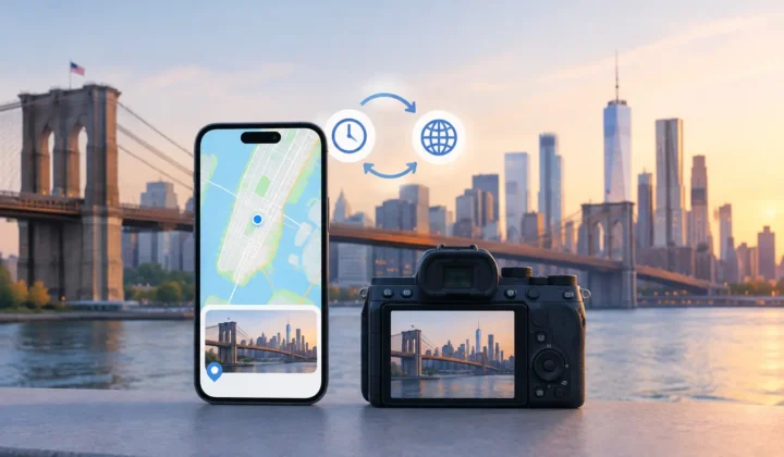
A missing location is not always missing evidence. Whether photo locations are recoverable depends on what surrounds each untagged image: the time it was taken, the location-tagged photos before and after it, and the length of the gap between them. A photo made four minutes after a geotagged café image may have a well-supported placement. A photo made six hours later may not.
That distinction matters because a map pin changes the meaning of a memory. The goal is not to fill every blank in Apple Photos. It is to restore location metadata where the photo library itself provides enough evidence to justify it.
What Makes Photo Locations Recoverable?
A location is recoverable when the timeline contains credible anchors. An anchor is a photo with an existing capture time and GPS location. If an untagged photo sits between anchors that indicate the same place, or a clearly continuous part of a trip, the missing location can often be proposed with useful confidence.
Consider a common travel sequence. Your iPhone records a location-tagged photo at a museum at 10:12 a.m. You import three images from a GPS-free Fujifilm camera taken at 10:14, 10:16, and 10:19. At 10:23, your iPhone records another location-tagged photo from the museum courtyard. The imported images belong inside a narrow, consistent interval. A proposed museum location is evidence-based, not arbitrary.
The same principle can apply to scanned prints, saves from WhatsApp, and photos received through AirDrop. Those files often arrive without useful GPS metadata, but their dates may still place them among photos that retain location context. The quality of the proposal depends on the quality and proximity of those neighboring anchors.
Time is evidence, not proof by itself
Capture time narrows the question. It does not answer it alone. A photo taken at 3:05 p.m. cannot be located simply because another photo from the same day has a pin. People travel, stop for lunch, cross town, and board planes. The interval between images changes what can reasonably be inferred.
A short gap with stable nearby locations supports a stronger proposal than a long gap with distant anchors. If photos on both sides of an untagged image point to the same park within minutes, the case is straightforward. If the preceding image is in Chicago and the next is in Milwaukee five hours later, the library supports a journey, not a precise place in the middle.
This is why a careful tool should show its reasoning through the timeline rather than presenting a location as a fact with no context.
Agreement between anchors increases confidence
Two anchors that agree are more useful than one. When the photos immediately before and after an untagged group carry the same or nearby locations, they can form a bounded section of the day. When anchors conflict, the uncertainty is real and should remain visible.
There are practical exceptions. A family may take several photos inside a venue where GPS is weak, with outdoor photos at the entrance and exit. The indoor images may deserve the venue’s location even if no indoor GPS fix exists. But an image taken between photos at two different stops should not inherit either pin automatically. It may be from the drive, a separate stop, or simply have an inaccurate timestamp.
Recoverable Does Not Mean Certain
Location recovery works best as a review process, not a silent repair. A useful proposal should communicate its certainty and make the evidence inspectable: which photos anchor the group, how far apart they are in time, and whether their locations agree.
Photo Geotag follows this approach by grouping related untagged images on a timeline and presenting proposed locations for review. It uses explicit confidence states rather than implying that every blank can be filled. Never a confident pin it cannot justify.
That restraint is particularly valuable in a large library. A wrong pin can be harder to notice than a missing one. It can quietly distort searches, map views, shared albums, and the story a family library tells years later. Leaving a photo unresolved is sometimes the most accurate outcome.
The Four-Minute Gap and the Six-Hour Gap
The difference between a four-minute gap and a six-hour gap is not merely a technical detail. It is the core of responsible inference.
With a four-minute gap, an untagged photo may be surrounded by evidence that is close enough in time to describe a single event. If both anchor photos are at the same restaurant, trailhead, or graduation venue, a proposed pin has a clear basis. You can still correct or reject it, but the proposal begins from meaningful context.
With a six-hour gap, even matching city-level anchors may be insufficient for a precise pin. You may know the day was spent in San Francisco, but not whether the missing photo was taken at the hotel, the ferry terminal, or a neighborhood across town. A careful system can offer a broader interpretation for review when appropriate, but it should not turn weak context into false precision.
The same trade-off appears when a sequence crosses a geographic boundary. Nearby timestamps are helpful, but location distance matters. A two-minute gap between photos can still be unreliable if one anchor is at an airport departure gate and the next is in another city due to an incorrect clock, imported metadata, or a time-zone change.
Camera Clock Errors Can Change the Answer
Dedicated cameras introduce a problem that is easy to overlook: their clocks drift. A Canon, Nikon, Sony, or Fujifilm may be set a few minutes ahead, an hour behind, or left on the wrong time zone after travel. When that happens, a photo can appear between the wrong iPhone images and receive a plausible-looking but incorrect location proposal.
Clock correction should happen before locations are applied. The right workflow compares a camera sequence against known location-tagged photos and looks for a consistent offset. If every camera image aligns cleanly after shifting the capture times by the same amount, the timeline becomes useful again. If no consistent adjustment explains the sequence, the evidence remains weak.
This is another place where automation needs limits. A consistent, reviewable clock offset is a useful finding. A one-off adjustment invented to make a single photo fit is not.
Scan, Confirm, Apply
The safest workflow has three separate stages.
First, scan the library locally for untagged images that fall between location-tagged photos. The scan should identify possible groups without changing the library. For a large collection, grouping matters: reviewing a set of 40 indoor reception photos as one timeline event is more practical than handling 40 isolated prompts.
Next, confirm the proposal. Review the anchor photos, timestamps, timeline scale, and certainty indicator. A group may be correct as proposed, need a manual adjustment, or deserve no location at all. Manual editing is not a fallback for a failed system. It is a necessary control when you know context the metadata cannot show.
Finally, apply the approved change. Metadata writes should be deliberate and reversible, with a record of what changed. A journalled approach makes it possible to revisit an earlier decision instead of treating a map pin as permanent.
When a Photo Should Stay Untagged
Some gaps cannot be responsibly recovered. This is not a defect in the library or the app. It is an honest limit of the available evidence.
A pin should be withheld when the surrounding interval is long, the anchors point to materially different places, timestamps appear inconsistent, or no reliable neighboring photos exist. A scanned print from 1998 may have a date but no surrounding digital timeline. A WhatsApp save may carry the day it was received rather than the day it was taken. An image exported and re-imported years later may have a modified timestamp that no longer reflects the original event.
In these cases, manual placement can still be useful if you recognize the scene. But it should be your decision, not a guess presented as recovered fact. The distinction protects the library’s integrity.
Privacy belongs in the same decision. Location metadata can be sensitive, particularly in family archives and personal travel photos. A recovery workflow that processes images on-device, without an account, cloud upload, or network analysis, keeps that context under your control. The photos do not need to leave your iPhone, iPad, or Mac for their timeline to be evaluated.
The most useful recovered location is not the one that fills the most empty fields. It is the one you can look at later and understand why it belongs there.