A photo without a place can be difficult to find again. You may remember the year and the people in it, but not which beach, museum, or family home it came from. When you edit photo location metadata on Mac, the goal is not simply to put a pin on a map. It is to preserve useful context without turning a reasonable possibility into a false fact.
For a few images, Apple Photos gives you a direct way to correct or add a location. For a library with years of scanned prints, messaging saves, and files from a dedicated camera, the harder question is how to make changes efficiently while keeping each location defensible.
What location edits in Photos actually change
Location data is commonly stored as GPS coordinates, sometimes with a place name inferred from those coordinates. In Photos on Mac, location is part of the information associated with an image in your photo library. Adding or correcting it improves map views, place-based search, and the ability to assemble albums around trips or family locations.
This does not mean every photo should receive a precise coordinate. A photograph of a birthday party may reliably belong in Chicago, for example, while its exact address is unknown. A scanned print may have only a handwritten month on the back. Precision should match the evidence you have.
There is also a privacy trade-off. Location can reveal where someone lives, where children go to school, or where a favorite private place is. Before sharing an image outside your library, consider whether its location should travel with it. Correct metadata can be valuable for your archive and still be unsuitable for public distribution.
Edit photo location metadata on Mac in Apple Photos
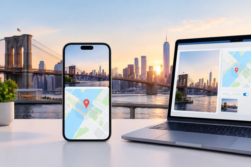
Start by selecting the photo or group of photos you want to change in Photos. Open the Image menu, then choose Adjust Location. Search for a place and select the appropriate result. Photos applies that location to the selected items.
For a single image, open the Info window first if you want to inspect what is already present. This helps distinguish between a missing location and an incorrect one. An image may show a broad place name even when the underlying coordinates are not as accurate as they appear.
If a location is wrong, replace it rather than leaving the old value in place. If the image should not carry a location at all, use the location removal option available from the Image menu. Removing a bad pin is often better than substituting a convenient but unsupported one.
When applying one location to multiple images, select only the pictures that genuinely belong together. A batch from the same afternoon may include a hotel, a train station, and a restaurant several miles apart. Grouping by event can be helpful, but only when the group represents one place at the level of precision you are assigning.
Use the map as a check, not proof
A search result in Photos may look plausible because the name is familiar. Confirm it on the map and compare it with what the image shows. Street signs, distinctive buildings, coastline shape, weather, and the sequence of nearby photos can all expose an overly broad or mistaken match.
Place names also repeat. A search for Springfield, Portland, or Washington can produce a result that is technically valid but located in the wrong state. Check the full label before accepting it, especially when you are editing an older family archive with incomplete notes.
Know where manual editing starts to break down
Manual edits work well when you know the answer. They become slow when the answer is distributed across the rest of your library.
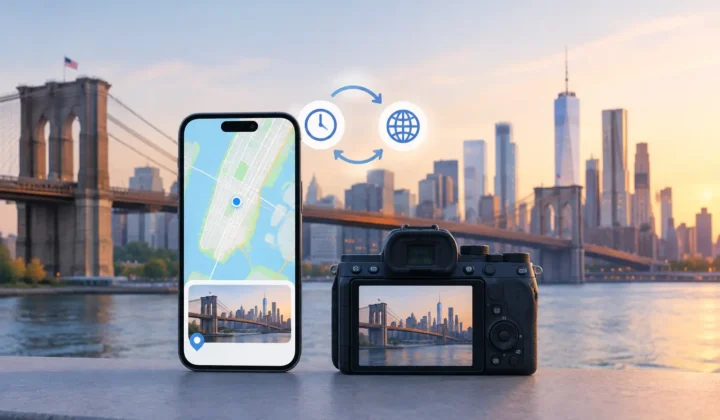
Consider a travel day: your iPhone photos are geotagged, but the images from a Canon, Nikon, Sony, or Fujifilm camera are not. The camera files may fit between phone photos taken at known locations. That timeline is useful evidence, but it is not an instruction to assign every untagged photo the same pin.
A four-minute gap between two phone photos taken outside the same gallery can strongly support a proposal for an untagged camera frame. A six-hour gap between two known locations cannot. The person may have driven, flown, stopped in several places, or changed time zones. Treating both cases alike would make the library look complete while making it less trustworthy.
Clock differences add another complication. Dedicated cameras are often set to the wrong time after daylight saving changes, international travel, or a forgotten battery replacement. If the camera is offset by an hour, images may appear to fall between the wrong reference photos. Correcting the clock relationship before considering location evidence can change the result entirely.
A safer workflow for missing locations
For a substantial library, use a workflow that separates evidence from edits: scan first, confirm second, apply last. That separation matters because an automatic location proposal is not the same thing as a justified change.
Begin by identifying untagged images in chronological context. Look for neighboring photos that already have reliable locations. These are anchor photos. The closer the anchors are in time, and the more consistent their locations, the stronger the case for a proposed placement.
Next, review proposed groups rather than treating every photo as an isolated task. A group might contain several camera images captured during a short stop between two geotagged iPhone photos. Review the anchors, the time gap, and the map position together. If the evidence supports a common location, applying one reviewed decision to the group saves work without hiding uncertainty.
Finally, make the change only after review. Keep a clear record of what was written so the decision can be revisited or undone. Location metadata is archival information. It deserves the same care you would give a date correction or a person label.
Photo Geotag is designed around this Scan, Confirm, Apply sequence. It examines location gaps locally in an existing Apple photo library, proposes grouped placements based on nearby time and location evidence, and labels certainty rather than silently guessing. When it cannot justify a pin, it does not draw one. You can adjust a proposed location manually before applying it, and its journaled changes remain reversible.
When you should leave the location blank
A blank field is not a failure. It is an honest description of what your records can support.
Leave a photo untagged when its neighboring images are too far apart in time, when anchors disagree, or when the timeline contains a likely camera-clock error you have not resolved. Do the same when a scanned print is known to be from a city but could have been taken at several locations across that city. You can add a caption, album name, or date range for context without claiming coordinates you do not know.
Be especially cautious with family archives. A relative may remember that a photo was taken “at the lake,” but several family trips may have gone to different lakes over decades. Record the memory in a description if it is useful, then add location only when the place can be identified with appropriate confidence.
Check results before sharing or exporting
After editing, search your library by place and inspect the map view. Look for pins that appear in an implausible country, cluster at a hotel even though the images were taken elsewhere, or jump around during what should be a continuous event. These patterns often reveal a typo, a repeated place name, or a group that was too broad.
If you export images, review the export settings and decide whether location information should be included. The right choice depends on the recipient. A family member preserving a shared archive may benefit from it. A public post, marketplace listing, or image sent to an unfamiliar recipient may not.
The best location edit is one you can explain later: the image was between these known photos, the timing aligned, the place matched what the image showed, and the final change was reviewed before it was written. That standard leaves some photos blank, but it keeps the memories you do locate worthy of trust.