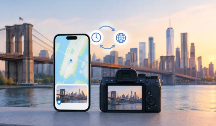
A scanned birthday photo can show every face at the table yet still be hard to find years later because it has no place attached to it. The same thing happens to travel photos saved from WhatsApp, images received through AirDrop, indoor shots taken before an iPhone found a GPS signal, and files imported from a dedicated camera. The best photo GPS tagging app should restore that context without treating a personal photo library as disposable data.
That standard changes how an app should be evaluated. Adding a pin is easy when the location is known. The difficult part is deciding when a location is justified, showing the evidence behind it, and leaving uncertain photos alone.
What the best photo GPS tagging app should do
A useful geotagging app does more than offer a map and a text field. Manual placement still has a role, especially for a childhood home, a museum interior, or a scanned print with no nearby digital photos. But manually tagging hundreds of images one by one is slow, and it creates its own risk: after enough repetitive edits, it is easy to place an entire batch in the wrong city.
For missing metadata at scale, look for a workflow that starts with the existing library. The app should identify photos without location data, then compare them with nearby photos that do have reliable coordinates. A photo taken four minutes after a geotagged image at a restaurant may have a strong basis for the same location. A photo taken six hours later does not. Those are different cases, and the interface should make that difference visible.
The essential question is not, “Can this app fill empty location fields?” It is, “What evidence does it use before it asks me to change a memory?”
Evidence should come before automation
Timestamp-based inference can be genuinely helpful because photos often arrive in natural sequences. You take a few photos outside, walk indoors, then capture family pictures where GPS is unavailable. If the photos on either side of that indoor sequence are tagged at the same address within a short interval, a proposed location can be reasonable.
But reasonable is not the same as certain. A good app distinguishes a well-supported proposal from a weak one. It should show anchor photos, the time gap between them, and whether those anchors agree on a place. If one neighboring photo is in Boston and the next is in New York, the missing photo between them should not receive a confident pin simply because an algorithm prefers complete metadata.
This is where many geotagging tools become less useful than they first appear. A bulk action that silently applies locations may save a few minutes, but it asks you to discover mistakes after they have spread through the library. For photo archives, that is the wrong order of operations.
Look for explicit certainty states instead. A strong proposal can be ready for review. An ambiguous proposal can be presented as a question. An unsupported case should remain untagged until you choose a location manually. Never a confident pin it cannot justify is a practical rule, not just careful wording.
Review matters as much as the scan
The best workflow has three clear stages: scan, confirm, and apply. Scanning finds potential gaps. Confirmation lets you inspect the proposed location and its surrounding evidence. Applying writes only the changes you approved.
That separation is particularly valuable in large libraries. A family archivist may scan several boxes of prints at once, while a photographer may import a full weekend of Canon, Nikon, Sony, or Fujifilm files. Neither person should have to trust an opaque batch process. Grouping related photos into a proposal lets the user evaluate a sequence as a sequence rather than reviewing identical pins hundreds of times.
A useful review screen should answer a few ordinary questions without making you decode technical language. Which photos support this location? How close are they in time? Is the proposal based on matching locations before and after the gap, or only one neighboring image? Can I see the place on a map before accepting it?
Color-coded certainty can help if it is paired with plain explanations. Color alone is not evidence. The app should still state why it is confident or why it is not.
Manual editing is equally necessary. No inference system knows that a photo was taken during a road trip stop, after a flight, or during an afternoon when someone’s camera clock was wrong. You should be able to move a proposed pin, select another location, or decline the suggestion without fighting the automation.
Camera-clock correction is not a minor feature
Dedicated cameras often create a special problem: their clock may be set to the wrong time zone, drift by a few minutes, or remain months behind after daylight saving time changes. When location matching depends on timestamps, a clock error can make otherwise excellent evidence look unrelated.
A serious photo GPS tagging app should detect patterns that suggest a clock offset instead of forcing you to fix every image individually. For example, if a set of camera photos consistently lines up with iPhone photos only after a five-hour shift, that is meaningful evidence of a time-zone mismatch. Once identified, the correction should be visible and reviewable before it affects location proposals.
This matters for travel photographers who carry both an iPhone and a camera. Your phone may record the trailhead, hotel, and meal stops with accurate GPS, while the camera captures the images you intend to keep. The phone photos can provide useful anchors, but only if their timeline is aligned with the camera files. An app that ignores clock offsets may appear to have no answers when the underlying evidence is actually strong.
Privacy is part of accuracy
Location metadata is personal. It can reveal where children go to school, where relatives live, which routes you take, and when a home was empty. Any app that processes a photo library should be judged not only by what it can infer, but also by where that work happens.
For many Apple users, on-device processing is the appropriate default. It keeps images and location history on the iPhone, iPad, or Mac rather than sending them to a remote service for analysis. It also removes the need for an account just to repair metadata in photos you already own.
Cloud processing is not automatically unacceptable, but it creates questions that deserve direct answers. Are originals uploaded or only metadata? How long is it retained? Is the data used for model training? Can you delete it? If an app cannot explain its handling clearly, it is asking for more trust than a geotagging task should require.
Photo Geotag is designed around an on-device review workflow: it scans for untagged images between known location anchors, presents grouped proposals, and waits for confirmation before making changes. That approach suits the task because it preserves the user’s role as the final authority on the library.
Do not overlook reversibility
Even careful metadata edits can be wrong. A pin may be justified by the available evidence and still turn out to be mistaken because a phone was left in a car or a camera’s timestamp was inaccurate. The app should make corrections easy to inspect and easy to undo.
Journaled writes are especially valuable here. They create a record of what was changed so an approved batch does not become irreversible. Before using any tool, test this on a small group of photos. Review the results in Apple Photos, verify that the locations are useful, and confirm that you can roll them back if needed.
This trial also reveals whether the app respects the organization of your library. It should work with existing photos rather than requiring you to export, duplicate, or rebuild albums. The goal is to repair missing context, not create another archive to maintain.
Choose the app that knows when to stop
There is no single best choice for every situation. If you only need to tag a handful of old photos and already know every location, a simple manual map editor may be enough. If you have years of mixed iPhone, scanned, messaging, and camera photos, evidence-based proposals and batch review become much more valuable.
The right tool will save time without pretending uncertainty has disappeared. It will explain a four-minute gap differently from a six-hour gap, surface a camera-clock problem when it sees one, keep private photos local when possible, and let you reject or revise every proposed location.
Start with one familiar event: a vacation, a holiday gathering, or a camera import you can verify from memory. A trustworthy app should make those photos easier to find while leaving every unsupported pin exactly where it belongs: unapplied.