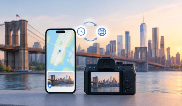
A photo from a family dinner may sit between two correctly geotagged pictures taken four minutes apart. That is useful evidence, but it does not necessarily identify the exact chair, restaurant entrance, or side of the street. To manually refine suggested photo locations well, treat each proposal as a starting point for review, not a fact your library must accept.
Location metadata changes how photos surface in Apple Photos. It affects map views, place searches, trip groupings, and the context available to someone opening the library years later. A broad but honest location is usually better than a highly specific pin based on a weak assumption.
Start with the evidence, not the map
A suggested location should be understandable before it is editable. The strongest proposals come from anchor photos: images with existing location data that appear before and after an untagged group in the timeline. Their timestamps, distance apart, and consistency provide the basis for a recommendation.
Consider two different gaps. If photos at 2:04 PM and 2:08 PM are both tagged at the same park, an untagged photo at 2:06 PM likely belongs there as well. If the surrounding anchors are six hours apart, or one is at an airport and the other is at home, assigning the missing image to either point would be unsupported guessing.
Before changing a suggestion, inspect the timeline at an appropriate scale. Look at the nearest geotagged photos, not just the proposed pin. Ask whether the group represents one continuous event, a transition between places, or an interval with insufficient information. A map can make a precise point feel persuasive even when the timeline does not justify it.
This matters especially with scanned prints and imported camera files. A scan date says when the print entered your library, not when the original photo was taken. Likewise, a Canon, Nikon, Sony, or Fujifilm camera may record a time that is slightly wrong after travel, daylight saving changes, or a camera clock that was never reset. The location suggestion can only be as reliable as the time relationship behind it.
Check whether the proposed location is too precise
A suggested location may be directionally right while still needing refinement. Perhaps the photos were taken in Chicago, but the proposed pin lands on a hotel where you slept later that evening. Or perhaps the app can establish that an indoor birthday happened at a family home, but not which nearby address belongs to the correct entrance.
Do not force point-level precision when the evidence supports only a neighborhood, venue, city, or general region. The appropriate level of detail depends on what you know independently and on how you expect to use the library later. For travel photos, a landmark or town can be enough. For a family archive, assigning a recurring home or gathering place may make retrieval much more meaningful.
A useful test is simple: could you explain why this image belongs at this location without relying on the pin itself? If the answer is, “It was between two photos there, and the gap was short,” the placement may be justified. If the answer is, “It seems plausible,” keep looking for evidence or leave the photo unlocated.
Manually refine suggested photo locations by group
When several untagged photos belong to the same moment, refine them together. A group might include photos from a meal, a short walk, or an afternoon at a museum. Reviewing the set as a unit reduces repetitive work and makes inconsistencies easier to spot.
Begin by confirming that the images actually share a location. Visual clues help: signage, architecture, table settings, weather, clothing, and the people present can establish whether the group is one event. Then compare those clues with the nearby anchors. A sequence can look continuous at first glance but contain a drive, a train ride, or an unrelated imported image.
Once the group is coherent, adjust the proposed location to the place you can support. Search for the venue, place the pin deliberately, or use a broader location when that is the honest choice. For example, a series of vacation images may clearly belong at Yosemite National Park even if you cannot identify the exact trailhead. That refinement improves organization without inventing detail.
If one image in a group tells a different story, split it off. A single photo taken during the ride home should not inherit the restaurant location merely because it was imported at the same time. Grouping is meant to save review time, not remove judgment.
Correct time before correcting place
A camera-clock offset can make good location evidence appear wrong. This is common after crossing time zones or when a dedicated camera is set several hours ahead or behind. It can also happen with old scans, where the displayed date reflects digitization rather than the original occasion.
Look for a repeating mismatch. If a camera’s images consistently fall two hours away from the phone photos that document the same trip, the problem is likely temporal, not geographic. Correcting the offset brings the imported timeline into alignment, allowing neighboring geotagged photos to become meaningful anchors.
Avoid correcting a clock based on one convenient match. Find multiple scenes that clearly correspond across devices: the same monument, meal, event, or person in the same clothing. A clock adjustment affects the reasoning used for many proposals, so it deserves stronger evidence than a single image can provide.
Use uncertainty as a decision, not a failure
Some photos cannot be located responsibly. A portrait taken indoors, a close-up of a document, or a forwarded image with no reliable timestamp may offer no defensible connection to a known place. Leaving it without a location preserves the difference between known context and hoped-for context.
That restraint is particularly valuable when family members will inherit the library. Incorrect metadata can become surprisingly durable. A wrong hometown, vacation stop, or childhood address may later be treated as historical fact because it appears neatly on a map.
Photo Geotag is designed around this boundary. It presents evidence-based proposals for review, communicates certainty explicitly, and does not draw a confident pin it cannot justify. Manual editing is therefore not an exception to automation. It is the final judgment that turns a reasonable inference into a location you are willing to keep.
Apply changes with a way back
Review the final placement before applying it, especially when a group contains many images. Check that the selected photos are correct, that the pin reflects the level of certainty you intend, and that no transitional images have been included by accident.
Reversibility should remain part of the workflow. Location edits are useful because they make a library easier to search and revisit, but they should never feel irreversible or opaque. A journaled change history and clear undo behavior let you correct an overbroad group, reconsider new information, or restore a photo to its prior state.
Privacy belongs in this review process, too. Personal location metadata can reveal homes, schools, routines, and travel patterns. A local, on-device workflow keeps the review of those details on your Apple device rather than sending images or location history to an account-based service. That is not just a technical preference. It gives you the space to make careful decisions about memories that are yours.
The best refined location is not always the most exact pin. It is the one that remains credible when you return to the photo years from now and ask, plainly, how you know it belongs there.