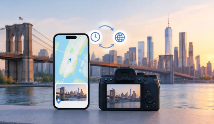
A photo can survive perfectly while its context disappears. A scanned print may retain the faces and colors of a family vacation but not the beach, town, or year it belongs to. A camera import may preserve a precise capture time but omit the location entirely. To restore lost photo context, the goal is not to put every image on a map. It is to recover only what the evidence can support, then let you confirm the result before your library changes.
Location metadata makes a photo library more useful, but it also becomes part of the historical record. A misplaced pin can be harmless for a lunch photo and deeply misleading for a family archive, a trip album, or a professional shoot. That is why the method matters as much as the outcome.
What photo context is actually missing?
Location is usually the most visible missing piece because Apple Photos uses it for map views, search, Memories, and trip-based organization. But location also helps make sense of time. A sequence of images becomes more legible when you can see that the pictures taken at 3:15 PM came from a museum in Chicago rather than an unmarked stretch of a long camera roll.
Context can be lost in ordinary ways. Photos saved from WhatsApp or other messaging apps may arrive without their original metadata. AirDropped images can be stripped or altered depending on how they were shared. Indoor photos may have no GPS position because the phone could not establish a reliable lock. Scanned prints have no original GPS data to begin with. Dedicated cameras from Canon, Nikon, Sony, and Fujifilm commonly record time but not location.
These are different problems, so they should not be treated as one. A scan from 1989 may need manual historical knowledge. An untagged photo placed between two geotagged iPhone images from the same afternoon may have strong supporting evidence. The correct workflow recognizes that difference.
Restore lost photo context from nearby evidence
For many gaps, the surrounding timeline provides the best clue. Consider an untagged image captured at 2:04 PM. If a geotagged photo at 2:02 PM and another at 2:07 PM both place you at the same park, the missing location has a credible basis. The evidence is stronger still when several nearby anchor photos agree.
Now change the gap from five minutes to six hours. You may have traveled across town, boarded a train, or gone home. Carrying a pin across that interval would be a guess, not a justified placement. A careful system should show that distinction clearly rather than treating every gap as equally recoverable.
The useful unit is often a group rather than a single image. A burst from a DSLR, a set of scanned prints from one event, or a cluster of message saves may all belong together. Reviewing one proposed location for a coherent group is faster than opening hundreds of photo info panels, and it gives you a better chance to spot a wrong assumption before it is applied.
Anchor photos should be visible
A proposed location should not arrive as a mysterious automated answer. You should be able to see the geotagged photos before and after the gap, their capture times, their locations, and the time span involved. These anchor photos explain why a proposal exists.
Timeline scale also changes the meaning of the evidence. On a minute-scale view, two nearby captures may clearly belong to one walk through a neighborhood. On a day-scale view, they may only appear close because a library contains thousands of images. Good review tools make that scale legible.
Certainty deserves equally plain language. A high-confidence proposal can be presented for quick confirmation. A weaker one should be labeled as such, offered for manual adjustment, or withheld entirely. Never a confident pin it cannot justify.
Check the camera clock before trusting the timeline
Time-based inference depends on timestamps being meaningful. This is especially relevant with dedicated cameras, where the clock may have been set incorrectly, left in a previous time zone, or drifted over months. A camera that is four minutes behind can still produce usable neighboring evidence. A camera that is six hours off can make an otherwise sensible proposal look impossible.
Look for a repeated, consistent offset. For example, a set of GPS-free camera images may appear exactly five hours earlier than geotagged iPhone reference photos from the same trip. That pattern suggests a clock setting issue, not random disorder. Correcting the offset can align the sequences and reveal valid anchors.
Not every mismatch has one clean explanation. Travel across time zones, multiple cameras, scans added years later, and edited export files can create mixed timelines. In those cases, apply correction only to the subset that supports it. Broad corrections are convenient, but convenience is not a reason to rewrite a historical record without review.
Use a reviewable workflow, not a bulk guess
The safest way to add missing location data follows three stages: scan, confirm, and apply.
During the scan, identify untagged photos and examine the geotagged images around them. The task is to find candidates with enough temporal and geographic evidence to deserve a proposal. This should happen locally on your device, particularly when a library includes family images, home interiors, children, or travel records you would not upload to a third-party service.
During confirmation, inspect each group. Check the anchor locations, the time gap, the certainty state, and any clock-offset warning. If the proposed place is right, approve it. If it is close but too broad, edit the location. If the evidence does not hold up, skip the group. Skipping is a valid result. An honest workflow must allow uncertainty to remain unresolved.
During application, changes should be explicit and reversible. You should know which photos will receive a location before you commit anything. A journal of writes provides a practical safety net: if you later discover that a group crossed a city boundary or included an unrelated image, you can undo that specific action rather than manually reconstructing the original state.
Photo Geotag is designed around this approach on iPhone, iPad, and Mac. It scans the existing library on-device, groups supported proposals, communicates certainty, and waits for confirmation. It does not need an account or a cloud copy of personal photos to do the work.
When manual placement is the better answer
Inference is valuable because it reduces repetitive work. It is not a replacement for your own knowledge. Some photos have context that a timeline cannot recover: a scanned birthday party, an old school portrait, a film roll digitized years after it was taken, or a camera sequence with no nearby GPS anchors.
For these images, manual placement can still restore meaningful context. You may know the family home, a wedding venue, a national park, or the neighborhood where a set of prints was taken. Add a specific location when you are sure, or use a broader place when that is all you can verify. A city-level label is more truthful than a street-level pin chosen from memory.
It also helps to preserve ambiguity in captions, albums, or filenames where needed. “Near Santa Fe, summer 1994” may be more accurate and more valuable than an invented exact coordinate. Metadata should clarify memories, not create false precision around them.
Protect the integrity of the original library
Adding location metadata changes how photos are discovered and grouped, but it should not alter the image itself. Still, metadata edits deserve care. Work in reviewable batches, especially when starting with a large archive. Begin with one trip, one camera import, or one year of scans. Check the results in Apple Photos before moving on.
Keep existing locations unless there is clear evidence they are wrong. A missing tag and an incorrect tag are separate cases. Replacing a known location requires a higher standard because you are not filling a blank – you are correcting a claim already attached to the photo.
The best result is not a library with every map pin filled. It is a library whose locations mean something when you search, revisit a trip, or hand the archive to someone else. Start with the gaps you can explain, review the evidence, and leave the rest open until a better clue appears.